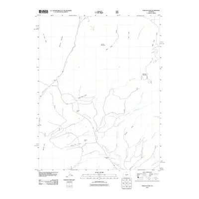
2011 Map of Poncha Pass
USGS Topo · Published 2011About this map
Poncha Pass serves as the central divide in this high-altitude landscape, where the waters of Poncha Creek and San Luis Creek begin their descent. The terrain is defined by significant peaks including Methodist Mountain, Poncha Mountain, and Cleveland Mountain, which enclose a network of deep drainages such as Sawmill Gulch and Camp Rock Gulch.
Find a feature on this map
31 named features on this map. Tap any name to fly to it.
Don’t see what you’re looking for? This feature index may not catch every label — zoom into the map to look around manually.
Map Details
Editions of this 2011 Poncha Pass Map
This is the sole edition of this map. No revisions or reprints were ever made.
Other maps of this area

1954 · Pueblo
USGS Topo · 1:250,000

1956 · Cameron Mountain
USGS Topo · 1:62,500

1956 · Poncha Springs
USGS Topo · 1:62,500

1956 · Montrose
USGS Topo · 1:250,000

1957 · Pueblo
USGS Topo · 1:250,000

1958 · Pueblo
USGS Topo · 1:250,000

1959 · Montrose
USGS Topo · 1:250,000

1959 · Bonanza
USGS Topo · 1:62,500

1959 · Howard
USGS Topo · 1:62,500

1960 · Montrose
USGS Topo · 1:250,000