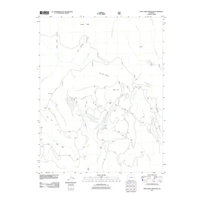
2011 Map of Pool Table Mountain
USGS Topo · Published 2011About this map
Pool Table Mountain and Palmer Mesa dominate this high-altitude landscape in Saguache County, where a complex network of seasonal creeks and gulches defines the local geography. The area's land use is marked by a series of open spaces or "parks," including Divide Park, Middle Park, and Fish Park, which historically served as key landmarks for navigation and grazing. Remnants of human activity are anchored by Hansons Mill in the west and Fremonts Camp to the northeast, points that suggest the region's legacy of timber work and high-country exploration. Drainage patterns are intricate, with headwaters such as Difficult Creek, East Fork Alder Creek, and Embargo Creek carving through the terrain. A system of Forest Service roads, including the Alder Creek Rd and USFS Rd 600, provides the primary access to these remote mountain reaches.
Find a feature on this map
40 named features on this map. Tap any name to fly to it.
Don’t see what you’re looking for? This feature index may not catch every label — zoom into the map to look around manually.
Map Details
Editions of this 2011 Pool Table Mountain Map
This is the sole edition of this map. No revisions or reprints were ever made.
Other maps of this area

1914 · Creede
USGS Topo · 1:125,000

1916 · Creede
USGS Topo · 1:125,000

1945 · Durango
USGS Topo · 1:250,000

1953 · Durango
USGS Topo · 1:250,000

1954 · Durango
USGS Topo · 1:250,000

1957 · Spar City
USGS Topo · 1:62,500

1959 · Creede
USGS Topo · 1:62,500

1961 · Durango
USGS Topo · 1:250,000

1963 · Durango
USGS Topo · 1:250,000

1966 · Durango
USGS Topo · 1:250,000