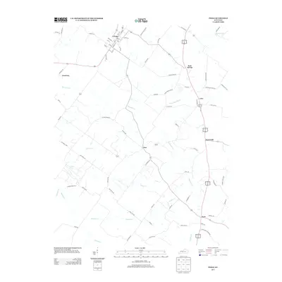
2013 Map of Poole
USGS Topo · Published 2013About this map
Corydon stands as the primary hub in this West Kentucky landscape, where a defined grid of streets like Hancock St and Willett St transitions into a network of rural routes. The region is defined by its watershed, particularly the winding courses of Beaverdam Cr and Whitelick Cr, which drain the agricultural lands between the scattered communities of Dixie, Cairo, and Poole. These settlements are linked by a series of long-standing family roads and spurs, such as Lod Powell Rd and Jane Posey Rd, reflecting generations of land ownership and agricultural use. North of Jonesburg, the terrain becomes more modified with features like Barrett Ditch, showing the ongoing management of the low-lying drainage basins. The map provides a detailed view of the rural infrastructure at the start of the 2010s, from the compact center of Rock Springs to the elevated position of Tunnel Hill.
Find a feature on this map
78 named features on this map. Tap any name to fly to it.
Don’t see what you’re looking for? This feature index may not catch every label — zoom into the map to look around manually.
Map Details
Editions of this 2013 Poole Map
This is the sole edition of this map. No revisions or reprints were ever made.
Other maps of this area

1906 · Sebree
USGS Topo · 1:62,500

1907 · Morganfield
USGS Topo · 1:62,500

1914 · Henderson
USGS Topo · 1:48,000

1916 · Henderson
USGS Topo · 1:62,500

1917 · Uniontown
USGS Topo · 1:62,500

1949 · Sebree
USGS Topo · 1:24,000

1949 · Poole
USGS Topo · 1:24,000

1949 · Robards
USGS Topo · 1:24,000

1951 · Dixon
USGS Topo · 1:24,000

1951 · Poole
USGS Topo · 1:24,000