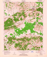
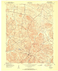
1949 Map of Sebree
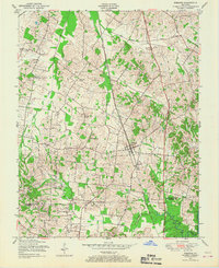
USGS Topo · Published 1965About this map
Sebree serves as the primary hub of activity on this mid-century survey, positioned along the vital Louisville and Nashville railroad corridor. The landscape is a complex arrangement of bottomlands and hills, defined by the winding course of Deer Creek and its tributaries, including East Fork Deer Creek and Mock Roy Creek. Smaller outlying settlements like Petersburg, Pratt, and Breton are scattered across the terrain, reflecting a rural society built on a mix of agriculture and local industry, evidenced by the Oil Field located north of Pratt.
Find a feature on this map
44 named features on this map. Tap any name to fly to it.
Don’t see what you’re looking for? This feature index may not catch every label — zoom into the map to look around manually.
Map Details
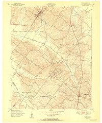
Editions of this 1949 Sebree Map
This is the sole edition of this map. No revisions or reprints were ever made.
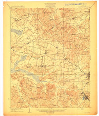
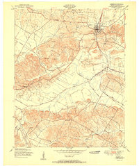
Other maps of this area
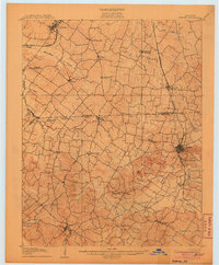
1906 · Sebree
USGS Topo · 1:62,500

1907 · Earlington
USGS Topo · 1:48,000

1908 · Calhoun
USGS Topo · 1:62,500
1909 · Earlington
USGS Topo · 1:62,500

1909 · Madisonville
USGS Topo · 1:62,500
1949 · Poole
USGS Topo · 1:24,000
1949 · Robards
USGS Topo · 1:24,000
1951 · Dixon
USGS Topo · 1:24,000
1951 · Poole
USGS Topo · 1:24,000
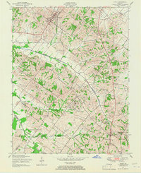
1951 · Sebree
USGS Topo · 1:24,000