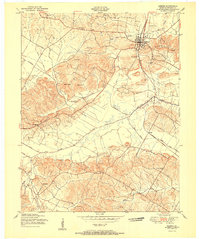
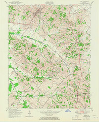
1951 Map of Sebree
USGS Topo · Published 1951About this map
The town of Sebree stands as a vital rail hub in northwestern Kentucky, positioned at the junction of the Louisville and Nashville railroad and a network of rural routes. This mid-century landscape is defined by its numerous small burial grounds, including Springdale Cem, Eastwood Cem, and Shelton Cem, which reflect the region's deep-rooted family history and local genealogy. Just south of the town center, Sebree Springs Park and the elevated terrain of Steamport Hill overlook a countryside drained by Knoblick Creek and Deer Creek.
Find a feature on this map
42 named features on this map. Tap any name to fly to it.
Don’t see what you’re looking for? This feature index may not catch every label — zoom into the map to look around manually.
Map Details
Editions of this 1951 Sebree Map
This is the sole edition of this map. No revisions or reprints were ever made.
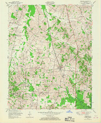
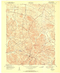
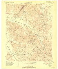
Other maps of this area
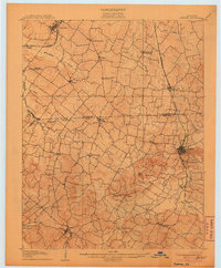
1906 · Sebree
USGS Topo · 1:62,500

1907 · Earlington
USGS Topo · 1:48,000

1908 · Calhoun
USGS Topo · 1:62,500
1909 · Earlington
USGS Topo · 1:62,500

1909 · Madisonville
USGS Topo · 1:62,500
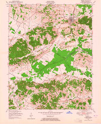
1949 · Sebree
USGS Topo · 1:24,000
1949 · Poole
USGS Topo · 1:24,000
1949 · Robards
USGS Topo · 1:24,000
1951 · Dixon
USGS Topo · 1:24,000
1951 · Poole
USGS Topo · 1:24,000