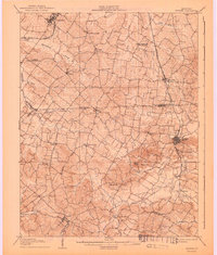
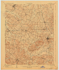
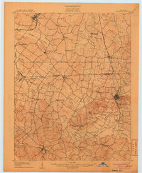
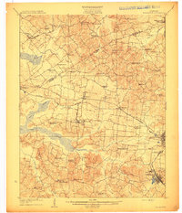
1906 Map of Sebree
USGS Topo · Published 1943About this map
Sebree and Dixon anchor this turn-of-the-century landscape at the convergence of Henderson and Webster counties. The regional economy is defined by the heavy rail infrastructure of the Illinois Central R R and the Louisville and Nashville R R, which connect established settlements like Corydon, Poole, and Robards. These rail corridors were vital for moving agricultural goods through the rolling terrain between Highland Creek and Canoe Creek.
Find a feature on this map
46 named features on this map. Tap any name to fly to it.
Don’t see what you’re looking for? This feature index may not catch every label — zoom into the map to look around manually.
Map Details
Editions of this 1906 Sebree Map
3 editions found
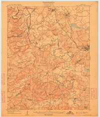
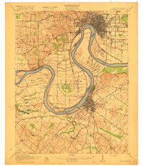
Other maps of this area
1905 · Newburg
USGS Topo · 1:62,500
1906 · Sebree
USGS Topo · 1:62,500

1907 · Earlington
USGS Topo · 1:48,000

1907 · Morganfield
USGS Topo · 1:62,500

1908 · Calhoun
USGS Topo · 1:62,500
1909 · Earlington
USGS Topo · 1:62,500

1909 · Madisonville
USGS Topo · 1:62,500
1909 · Providence
USGS Topo · 1:62,500

1914 · Henderson
USGS Topo · 1:48,000
1916 · Henderson
USGS Topo · 1:62,500