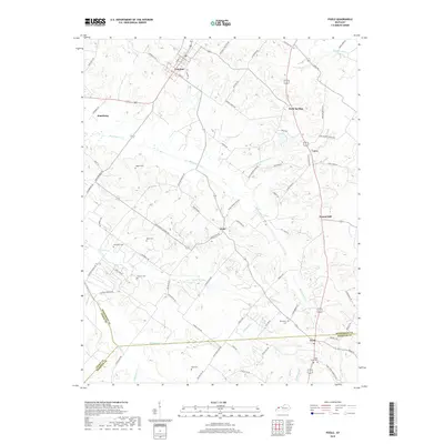
2019 Map of Poole
USGS Topo · Published 2019About this map
Corydon and Poole anchor the northern and southern reaches of this landscape, which spans the junctions of Henderson, Union, and Webster Counties. The terrain is defined by a dense network of winding watercourses, including Beaverdam Cr, Whitelick Cr, and Camp Cr, which carve through the rural countryside. Small hamlets such as Dixie, Cairo, and Jonesburg are connected by a web of local roads named for prominent families and local landmarks, such as Tapp-Duncan Rd and Hughes-Sights Rd.
Find a feature on this map
74 named features on this map. Tap any name to fly to it.
Don’t see what you’re looking for? This feature index may not catch every label — zoom into the map to look around manually.
Map Details
Editions of this 2019 Poole Map
This is the sole edition of this map. No revisions or reprints were ever made.
Other maps of this area

1906 · Sebree
USGS Topo · 1:62,500

1907 · Morganfield
USGS Topo · 1:62,500

1914 · Henderson
USGS Topo · 1:48,000

1916 · Henderson
USGS Topo · 1:62,500

1917 · Uniontown
USGS Topo · 1:62,500

1949 · Sebree
USGS Topo · 1:24,000

1949 · Poole
USGS Topo · 1:24,000

1949 · Robards
USGS Topo · 1:24,000

1951 · Dixon
USGS Topo · 1:24,000

1951 · Poole
USGS Topo · 1:24,000