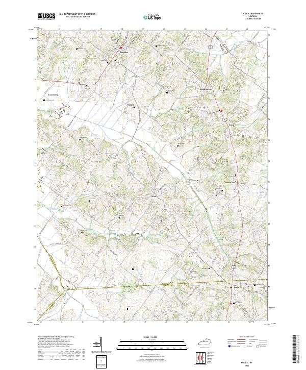
2022 Map of Poole
USGS Topo · Published 2022About this map
The rolling agricultural landscape at the tri-county junction of Henderson, Union, and Webster Counties reveals a dense pattern of family settlements and rural burial grounds. The map is anchored by small communities such as Poole, Dixie, and Cairo, which are connected by a web of historically significant roads like Poole Mill Rd and Sulphur Springs Rd. The prevalence of family-named cemeteries, including the Gibson Family Cem and Powell Family Cem, suggests a deeply rooted genealogical heritage where farmsteads and legacy plots define the land's divisions.
Find a feature on this map
97 named features on this map. Tap any name to fly to it.
Don’t see what you’re looking for? This feature index may not catch every label — zoom into the map to look around manually.
Map Details
Editions of this 2022 Poole Map
This is the sole edition of this map. No revisions or reprints were ever made.
Other maps of this area

1906 · Sebree
USGS Topo · 1:62,500

1907 · Morganfield
USGS Topo · 1:62,500

1914 · Henderson
USGS Topo · 1:48,000

1916 · Henderson
USGS Topo · 1:62,500

1917 · Uniontown
USGS Topo · 1:62,500

1949 · Sebree
USGS Topo · 1:24,000

1949 · Poole
USGS Topo · 1:24,000

1949 · Robards
USGS Topo · 1:24,000

1951 · Dixon
USGS Topo · 1:24,000

1951 · Poole
USGS Topo · 1:24,000