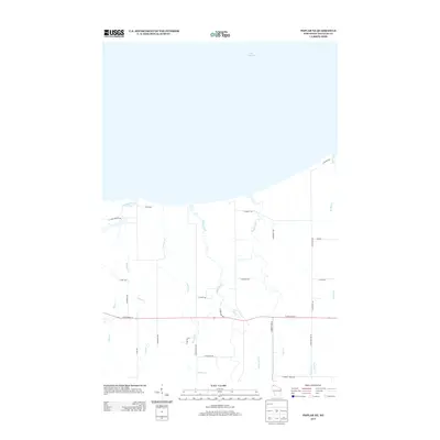
2013 Map of Poplar NE
USGS Topo · Published 2013About this map
Lake Superior defines the northern edge of this northern Wisconsin landscape, where several waterways flow northward through the township of Lakeside. The drainage pattern is dense, characterized by the Amnicon River, Middle River, and Poplar River cutting through the terrain toward the Great Lake. This early 21st-century survey shows a rural infrastructure dominated by family-named roads and thoroughfares like E State Road 13 and S County Hwy P. The network of secondary routes, including E Camp Amnicon Rd and S Peterson Rd, reveals a settlement pattern of dispersed residences and agricultural tracts. Smaller tributaries such as Hanson Cr, Bardon Cr, and Wagner Cr lace the land between these primary corridors, illustrating the natural hydrological influence on the region's development and road placement.
Find a feature on this map
33 named features on this map. Tap any name to fly to it.
Don’t see what you’re looking for? This feature index may not catch every label — zoom into the map to look around manually.
Map Details
Editions of this 2013 Poplar NE Map
This is the sole edition of this map. No revisions or reprints were ever made.
Other maps of this area

1947 · Brule
USGS Topo · 1:48,000

1949 · Poplar
USGS Topo · 1:48,000

1953 · Lakewood
USGS Topo · 1:24,000

1953 · Ashland
USGS Topo · 1:250,000

1954 · Lake Nebagamon
USGS Topo · 1:24,000

1954 · Poplar NE
USGS Topo · 1:24,000
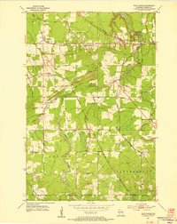
1954 · South Range
USGS Topo · 1:24,000

1954 · Poplar
USGS Topo · 1:24,000

1954 · Cloverland
USGS Topo · 1:24,000
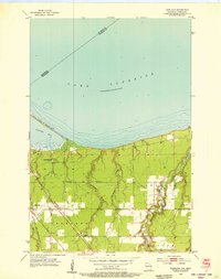
1954 · Parkland
USGS Topo · 1:24,000