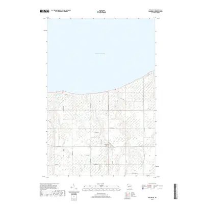
2018 Map of Poplar NE
USGS Topo · Published 2018About this map
Lake Superior defines the northern reaches of this coastal Douglas County landscape, where numerous watercourses carve through the terrain toward the great lake. Central to the local community is Lakeside Cem, situated near the intersection of E State Rd 13 and S Berglund Rd. The map illustrates a distinctive drainage pattern where the Amnicon River, Middle River, and Poplar River run roughly parallel as they approach the shoreline. A network of rural routes, including Kaarto Rd, Section 6 Rd, and S Pine Central Rd, provides access to the wooded and marshy interior, while E Bardon Creek Rd follows the winding path of Bardon Creek in the southeastern corner.
Find a feature on this map
42 named features on this map. Tap any name to fly to it.
Don’t see what you’re looking for? This feature index may not catch every label — zoom into the map to look around manually.
Map Details
Editions of this 2018 Poplar NE Map
This is the sole edition of this map. No revisions or reprints were ever made.
Other maps of this area

1947 · Brule
USGS Topo · 1:48,000

1949 · Poplar
USGS Topo · 1:48,000

1953 · Lakewood
USGS Topo · 1:24,000

1953 · Ashland
USGS Topo · 1:250,000

1954 · Lake Nebagamon
USGS Topo · 1:24,000

1954 · Poplar NE
USGS Topo · 1:24,000
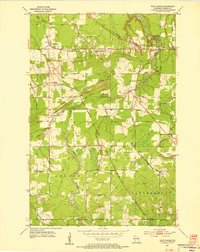
1954 · South Range
USGS Topo · 1:24,000

1954 · Poplar
USGS Topo · 1:24,000

1954 · Cloverland
USGS Topo · 1:24,000
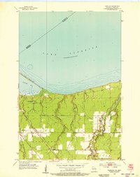
1954 · Parkland
USGS Topo · 1:24,000