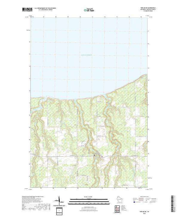
2022 Map of Poplar NE
USGS Topo · Published 2022About this map
The south shore of Lake Superior dominates this coastal landscape in Douglas County, where numerous watercourses drain northward through the timbered terrain. Notable among these are the Amnicon River, Middle River, and Poplar River, which carve distinct paths toward the lake. The region is interlaced with a grid of local roads, many bearing family names that suggest a history of rural settlement, including Schiff Rd, Edstrom Rd, and Kaarto Rd. At the intersection of E State Rd 13 and S Berglund Rd, the Lakeside Cem serves as a local landmark for genealogical research. The drainage patterns of smaller tributaries like Hanson Cr and Erickson Cr illustrate the complex hydrography of the Lake Superior lowland, characterized by small valleys and wetlands that have historically influenced the placement of homesteads and infrastructure.
Find a feature on this map
43 named features on this map. Tap any name to fly to it.
Don’t see what you’re looking for? This feature index may not catch every label — zoom into the map to look around manually.
Map Details
Editions of this 2022 Poplar NE Map
This is the sole edition of this map. No revisions or reprints were ever made.
Other maps of this area

1947 · Brule
USGS Topo · 1:48,000

1949 · Poplar
USGS Topo · 1:48,000

1953 · Lakewood
USGS Topo · 1:24,000

1953 · Ashland
USGS Topo · 1:250,000

1954 · Lake Nebagamon
USGS Topo · 1:24,000

1954 · Poplar NE
USGS Topo · 1:24,000
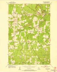
1954 · South Range
USGS Topo · 1:24,000

1954 · Poplar
USGS Topo · 1:24,000

1954 · Cloverland
USGS Topo · 1:24,000
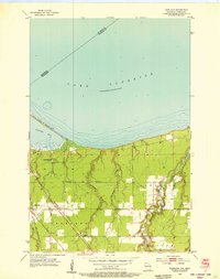
1954 · Parkland
USGS Topo · 1:24,000