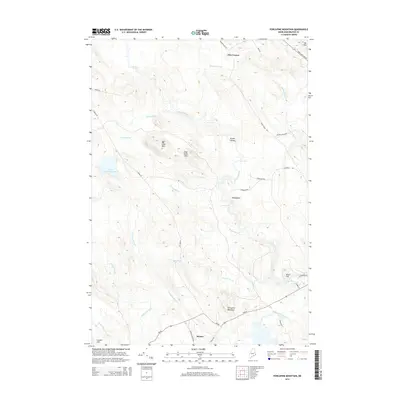
2014 Map of Porcupine Mountain
USGS Topo · Published 2014About this map
Marion sits at the southern edge of this Maine landscape, where the confluence of localized roads and hydrology defines the settlement pattern. The area is characterized by a dense network of watercourses, most notably the Dennys River and Cathance Stream, which drain the surrounding highlands and create numerous whitewater features such as Gardner Rips, Ayers Rips, and Stoddard Rips. These water features indicate the historical importance of river power and navigation in this timber-rich region of Washington County.
Find a feature on this map
38 named features on this map. Tap any name to fly to it.
Don’t see what you’re looking for? This feature index may not catch every label — zoom into the map to look around manually.
Map Details
Editions of this 2014 Porcupine Mountain Map
This is the sole edition of this map. No revisions or reprints were ever made.
Other maps of this area

1907 · Eastport
USGS Topo · 1:48,000

1908 · Eastport
USGS Topo · 1:62,500

1929 · Calais
USGS Topo · 1:48,000

1929 · Robbinston
USGS Topo · 1:48,000

1931 · Robbinston
USGS Topo · 1:62,500

1932 · Calais
USGS Topo · 1:62,500

1941 · Gardner Lake
USGS Topo · 1:62,500

1943 · Gardner Lake
USGS Topo · 1:62,500

1943 · Eastport
USGS Topo · 1:62,500

1945 · Eastport
USGS Topo · 1:62,500