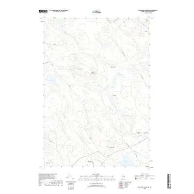
2018 Map of Porcupine Mountain
USGS Topo · Published 2018About this map
The settlement of Marion marks the southern reach of this Maine landscape, where the waters of Cathance Stream and Dennys River define the local drainage patterns. The topography is characterized by isolated peaks and glacial features, including Big Allan Mtn, Little Allan Mtn, and Porcupine Mtn, alongside the prominent ridge known as Whaleback. Water is the dominant geographic force here, represented by numerous river features like Stoddard Rips, Ayers Rips, and Gardner Rips, which indicate the fast-moving, rocky nature of the riverbeds.
Find a feature on this map
41 named features on this map. Tap any name to fly to it.
Don’t see what you’re looking for? This feature index may not catch every label — zoom into the map to look around manually.
Map Details
Editions of this 2018 Porcupine Mountain Map
This is the sole edition of this map. No revisions or reprints were ever made.
Other maps of this area
1907 · Eastport
USGS Topo · 1:48,000
1908 · Eastport
USGS Topo · 1:62,500
1929 · Calais
USGS Topo · 1:48,000
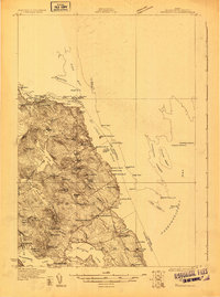
1929 · Robbinston
USGS Topo · 1:48,000
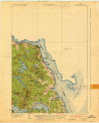
1931 · Robbinston
USGS Topo · 1:62,500
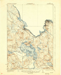
1932 · Calais
USGS Topo · 1:62,500
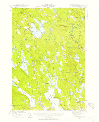
1941 · Gardner Lake
USGS Topo · 1:62,500
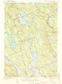
1943 · Gardner Lake
USGS Topo · 1:62,500
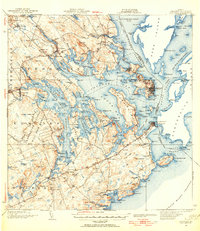
1943 · Eastport
USGS Topo · 1:62,500
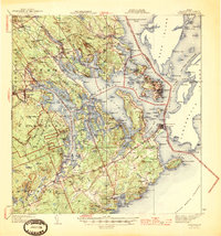
1945 · Eastport
USGS Topo · 1:62,500