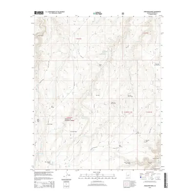
2014 Map of Porcupine Ridge
USGS Topo · Published 2014About this map
Sitgreaves National Forest covers this high-altitude landscape atop the Mogollon Plateau, where the terrain is defined by a dense network of canyons and ridges. The eponymous Porcupine Ridge sits central to a complex drainage system that includes Chevelon Canyon, Alder Canyon, and the East Fork Alder Canyon. This area is marked by numerous water sources critical for high-country survival and land use, including Dudley Lake, Deer Lake, and named catchments like Bennett Butler Tank.
Find a feature on this map
43 named features on this map. Tap any name to fly to it.
Don’t see what you’re looking for? This feature index may not catch every label — zoom into the map to look around manually.
Map Details
Editions of this 2014 Porcupine Ridge Map
This is the sole edition of this map. No revisions or reprints were ever made.
Other maps of this area

1886 · Holbrook
USGS Topo · 1:250,000

1887 · Verde
USGS Topo · 1:250,000

1892 · Verde
USGS Topo · 1:250,000

1893 · Holbrook
USGS Topo · 1:250,000

1934 · Promontory Butte
USGS Topo · 1:62,500

1939 · Promontory Butte
USGS Topo · 1:62,500

1952 · Promontory Butte
USGS Topo · 1:62,500

1954 · Holbrook
USGS Topo · 1:250,000

1957 · Holbrook
USGS Topo · 1:250,000

1958 · Holbrook
USGS Topo · 1:250,000