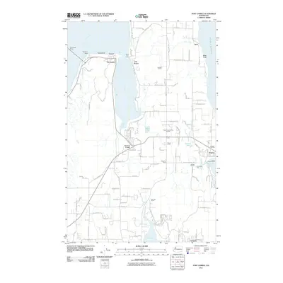
2011 Map of Port Gamble
USGS Topo · Published 2011About this map
Port Gamble anchors this 2011 survey of the northern Kitsap Peninsula, showing a landscape defined by its deep relationship with the Puget Sound and Hood Canal. The historic company town of Port Gamble is visible on its namesake inlet, while the S'Klallam community of Little Boston sits across the water on Point Julia. This era of development shows a mix of maritime industry and residential growth, featuring the Port of Kingston Marina and the vital transit connection of the Hood Canal Bridge.
Find a feature on this map
111 named features on this map. Tap any name to fly to it.
Don’t see what you’re looking for? This feature index may not catch every label — zoom into the map to look around manually.
Map Details
Editions of this 2011 Port Gamble Map
This is the sole edition of this map. No revisions or reprints were ever made.
Other maps of this area

1894 · Seattle
USGS Topo · 1:62,500

1895 · Snohomish
USGS Topo · 1:125,000

1897 · Seattle
USGS Topo · 1:125,000

1908 · Seattle
USGS Topo · 1:62,500

1909 · Seattle Special
USGS Topo · 1:62,500

1937 · Port Orchard
USGS Topo · 1:62,500

1937 · Port Gamble
USGS Topo · 1:62,500

1940 · Port Gamble
USGS Topo · 1:62,500

1942 · Edmonds
USGS Topo · 1:62,500

1949 · Shilshole Bay
USGS Topo · 1:24,000