
1963 Map of Port Moller C-5
USGS Topo · Published 1966About this map
Pavlof Bay dominates this coastal landscape on the Alaska Peninsula, showcasing a wild shoreline defined by volcanic deposits and tidal flux in the early 1960s. The northern shore is marked by a unique band of Sand and Ashes, reflecting the region's active geology. To the north, the Caribou River meanders through a water-logged tundra plain dotted with countless small lakes and ponds, eventually draining toward the bay.
Find a feature on this map
13 named features on this map. Tap any name to fly to it.
Don’t see what you’re looking for? This feature index may not catch every label — zoom into the map to look around manually.
Map Details
Editions of this 1963 Port Moller C-5 Map
This is the sole edition of this map. No revisions or reprints were ever made.
Other maps of this area

1953 · Port Moller
USGS Topo · 1:250,000

1963 · Port Moller D-5
USGS Topo · 1:63,360

1963 · Port Moller C-6
USGS Topo · 1:63,360
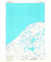
1963 · Port Moller D-6
USGS Topo · 1:63,360
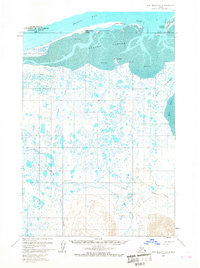
1963 · Port Moller D-4
USGS Topo · 1:63,360

1983 · Port Moller B-6
USGS Topo · 1:63,360

1983 · Port Moller C-4
USGS Topo · 1:63,360
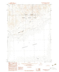
1983 · Port Moller B-4
USGS Topo · 1:63,360
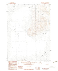
1983 · Port Moller B-5
USGS Topo · 1:63,360

1988 · Port Moller
USGS Topo · 1:250,000