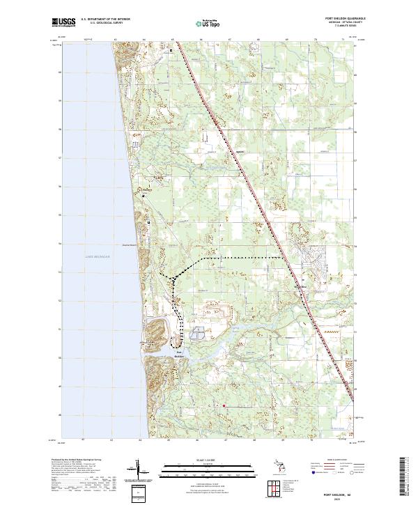
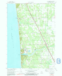
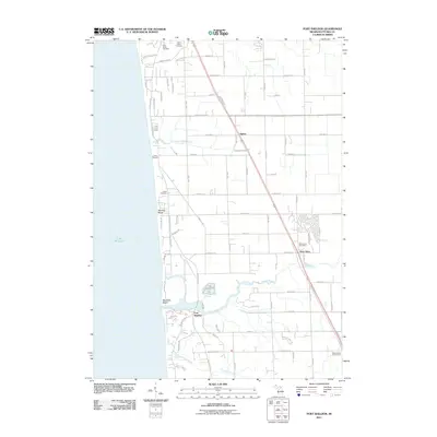
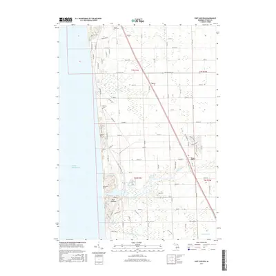
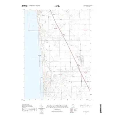
2023 Map of Port Sheldon
USGS Topo · Published 2023About this map
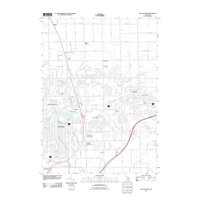
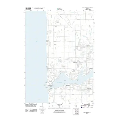
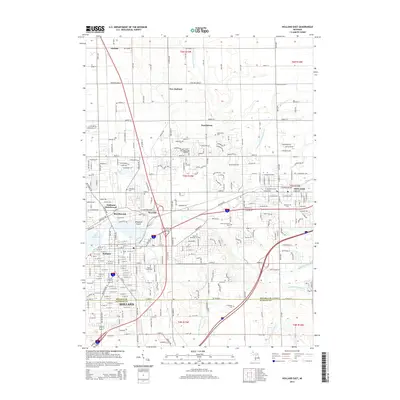
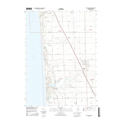
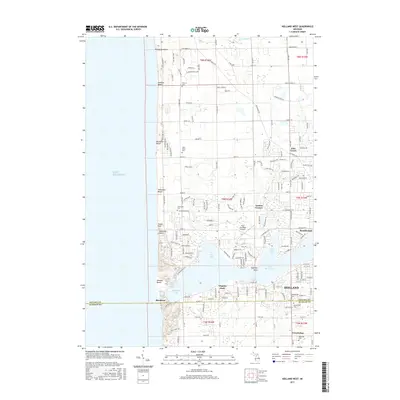
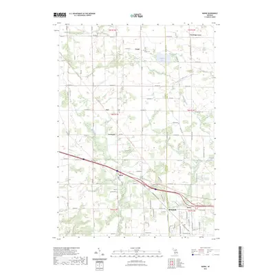
Lake Michigan shapes the western edge of this Ottawa County landscape, where dunes and wetlands define the coastal environment between the settlements of Port Sheldon and Agnew. The map documents a blend of contemporary residential development and significant historical markers, including the Indian Cem, Historic Cem, and the Cobmosay Grave. These sites point to the area’s long human history preceding modern subdivisions. The drainage patterns of the Pigeon River and its tributaries, such as Little Pigeon Creek and Ten Hagen Creek, are clearly traced as they move toward the lake. Recreational landmarks like Mountain Beach and Zwemer Beach highlight the shoreline's enduring appeal, while Spring Bayou provides a distinct inland water feature near the unincorporated community of West Olive.
Find a feature on this map
78 named features on this map. Tap any name to fly to it.
Don’t see what you’re looking for? This feature index may not catch every label — zoom into the map to look around manually.
Map Details
Editions of this 2023 Port Sheldon Map
This is the sole edition of this map. No revisions or reprints were ever made.
Historical Maps of Port Sheldon Through Time
42 maps found
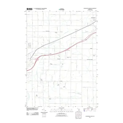
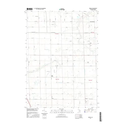
1972 Borculo
Ottawa County, MI
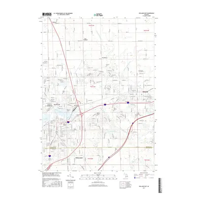
1972 Holland East
Ottawa County, MI
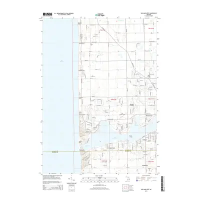
1972 Holland West
Ottawa County, MI
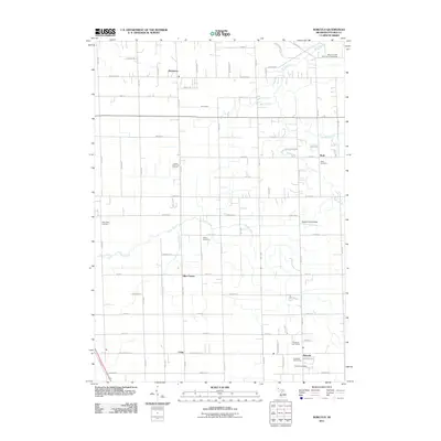
1972 Port Sheldon
Ottawa County, MI
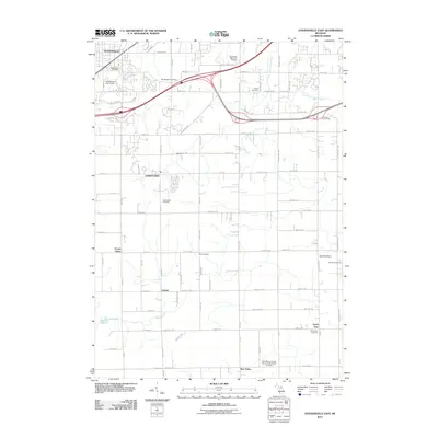
1980 Hudsonville East
Ottawa County, MI
1980 Hudsonville West
Ottawa County, MI
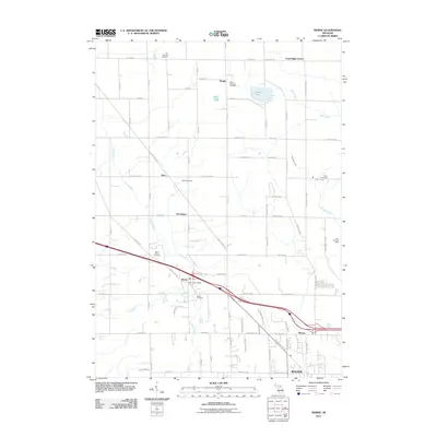
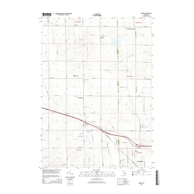
1980 Marne
Ottawa County, MI
2011 Borculo
Ottawa County, MI
2011 Holland East
Ottawa County, MI
2011 Holland West
Ottawa County, MI
2011 Hudsonville East
Ottawa County, MI
2011 Hudsonville West
Ottawa County, MI
2011 Marne
Ottawa County, MI
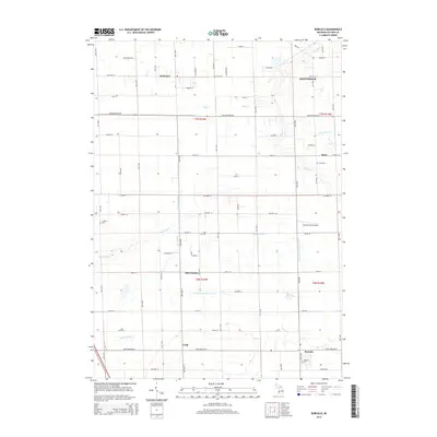
2011 Port Sheldon
Ottawa County, MI
2014 Borculo
Ottawa County, MI
2014 Holland East
Ottawa County, MI
2014 Holland West
Ottawa County, MI
2014 Hudsonville East
Ottawa County, MI
2014 Hudsonville West
Ottawa County, MI
2014 Marne
Ottawa County, MI
2014 Port Sheldon
Ottawa County, MI
2017 Borculo
Ottawa County, MI
2017 Holland East
Ottawa County, MI
2017 Holland West
Ottawa County, MI
2017 Hudsonville East
Ottawa County, MI
2017 Hudsonville West
Ottawa County, MI
2017 Marne
Ottawa County, MI
2017 Port Sheldon
Ottawa County, MI
2019 Borculo
Ottawa County, MI
2019 Holland East
Ottawa County, MI
2019 Holland West
Ottawa County, MI
2019 Hudsonville East
Ottawa County, MI
2019 Hudsonville West
Ottawa County, MI
2019 Marne
Ottawa County, MI
2019 Port Sheldon
Ottawa County, MI
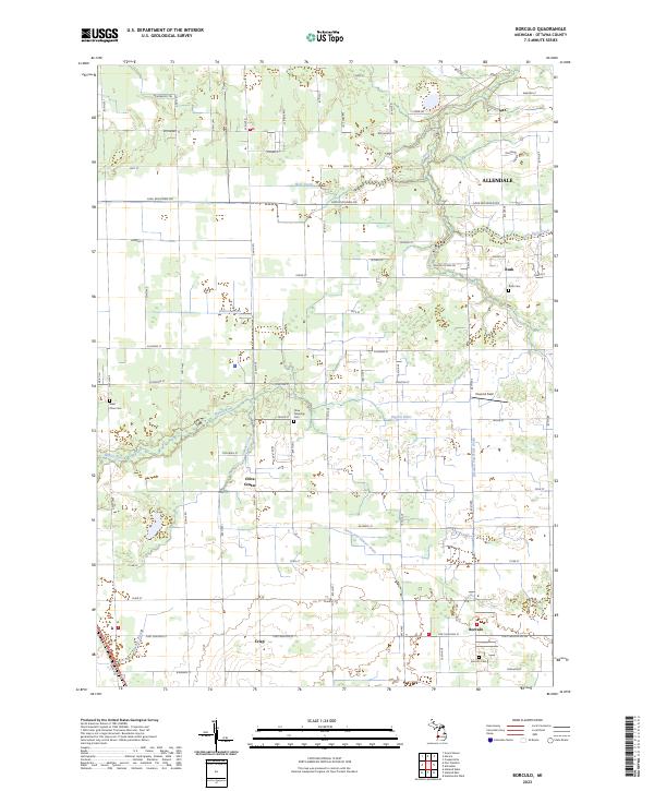
2023 Borculo
Ottawa County, MI
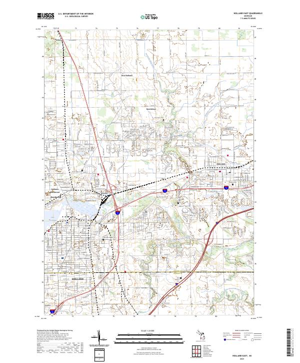
2023 Holland East
Ottawa County, MI
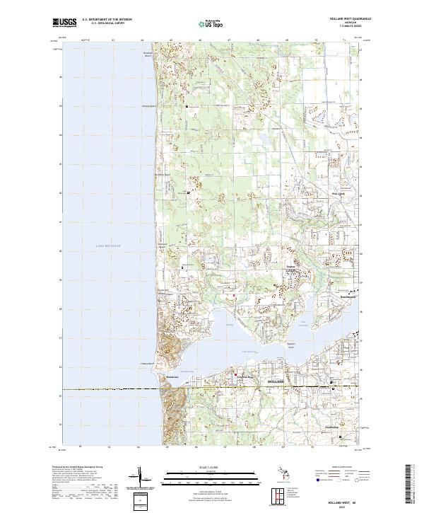
2023 Holland West
Ottawa County, MI
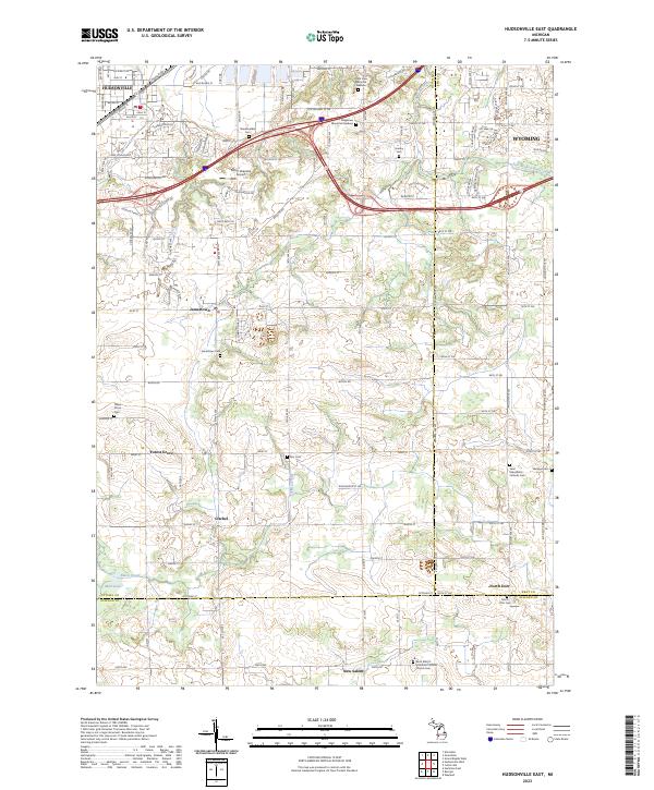
2023 Hudsonville East
Ottawa County, MI
2023 Hudsonville West
Ottawa County, MI
2023 Marne
Ottawa County, MI
2023 Port Sheldon
Ottawa County, MI
Featured Locations
- Grand Haven Charter Township, MI
- Olive Township, MI
- Port Sheldon Township, MI
- Port Sheldon, Port Sheldon Township
- Agnew, Grand Haven Charter Township