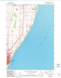
2022 Map of Port Washington East
USGS Topo · Published 2022About this map
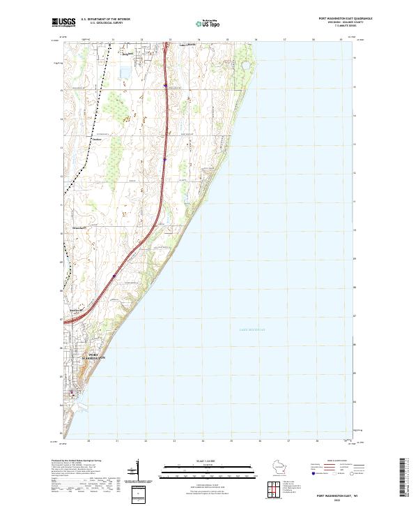
Lake Michigan dominates the eastern expanse of this coastline survey, where the shoreline is defined by a series of residential enclaves and winding roads like Sunny Ridge Rd and Lakeview Ridge Rd. Further inland, the landscape transitions to the developed streets of Port Washington and smaller rural settlements including Belgium and Lake Church. The map traces the path of Sucker Cr as it drains toward the lake, alongside a network of county highways that link established communities like Knellsville and Decker. This modern layout shows the persistent influence of historical corridors such as Sauk Trail Rd, illustrating how early terrestrial routes have been integrated into the contemporary infrastructure of Ozaukee County. Near the shore, unique access points like High Point Beach Ln and specialized routes like the Water Trail reflect the area's dual character as both a residential hub and a recreational lakefront.
Find a feature on this map
47 named features on this map. Tap any name to fly to it.
Don’t see what you’re looking for? This feature index may not catch every label — zoom into the map to look around manually.
Map Details
Editions of this 2022 Port Washington East Map
This is the sole edition of this map. No revisions or reprints were ever made.
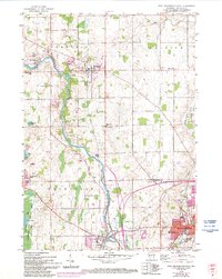
Historical Maps of Port Washington Through Time
5 maps found