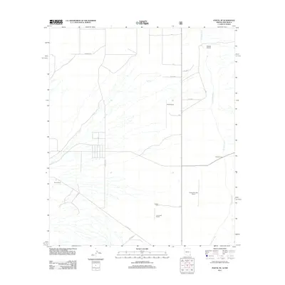
2012 Map of Portal NE
USGS Topo · Published 2012About this map
The San Simon River drainage dominates the eastern edge of this high-desert landscape along the Arizona-New Mexico border. Local ranching operations and private airstrips define the human imprint on the land, including the Roberds Ranch and Stidham Ranch. The presence of several landing strips, such as Rodeo Airport, Amigos Del Cielo Airport, and the distinctively named Lizzy Lizard Airport, suggests a community of pilots and aviation enthusiasts taking advantage of the open terrain.
Find a feature on this map
21 named features on this map. Tap any name to fly to it.
Don’t see what you’re looking for? This feature index may not catch every label — zoom into the map to look around manually.
Map Details
Editions of this 2012 Portal NE Map
This is the sole edition of this map. No revisions or reprints were ever made.
Other maps of this area

1917 · San Simon
USGS Topo · 1:125,000

1917 · Chiricahua
USGS Topo · 1:125,000

1918 · Pratt
USGS Topo · 1:62,500

1919 · Pratt
USGS Topo · 1:62,500

1919 · Chiricahua
USGS Topo · 1:125,000

1926 · Rodeo
USGS Topo · 1:62,500

1928 · Chenoweth
USGS Topo · 1:62,500

1950 · Vanar
USGS Topo · 1:62,500

1951 · Vanar
USGS Topo · 1:62,500

1954 · Silver City
USGS Topo · 1:250,000