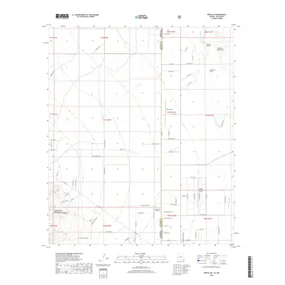
2018 Map of Portal NE
USGS Topo · Published 2018About this map
The Coronado National Forest borders the southwestern corner of this desert landscape, where the rugged Peloncillo Mountains and Hackett Canyon define the northeastern horizon. This area along the Arizona-New Mexico state line is a significant aviation corridor for small craft, featuring several private and public airstrips such as Rodeo Airport, Amigos Del Cielo Airport, and the uniquely named Lizzy Lizard Airport. The drainage patterns of Cave Cr and the San Simon River carve through the San Simon Valley, illustrating the arid geography of Cochise County. Local transit is defined by a network of rural routes and named tracks like S Bear Mountain Rd and Davis Trl, which provide access to remote desert allotments and the forest boundary.
Find a feature on this map
78 named features on this map. Tap any name to fly to it.
Don’t see what you’re looking for? This feature index may not catch every label — zoom into the map to look around manually.
Map Details
Editions of this 2018 Portal NE Map
This is the sole edition of this map. No revisions or reprints were ever made.
Other maps of this area

1917 · San Simon
USGS Topo · 1:125,000

1917 · Chiricahua
USGS Topo · 1:125,000

1918 · Pratt
USGS Topo · 1:62,500

1919 · Pratt
USGS Topo · 1:62,500

1919 · Chiricahua
USGS Topo · 1:125,000

1926 · Rodeo
USGS Topo · 1:62,500

1928 · Chenoweth
USGS Topo · 1:62,500

1950 · Vanar
USGS Topo · 1:62,500

1951 · Vanar
USGS Topo · 1:62,500

1954 · Silver City
USGS Topo · 1:250,000