Loading...
Loading map...2022 Map of Portland
USGS Topo · Published 2022About this map
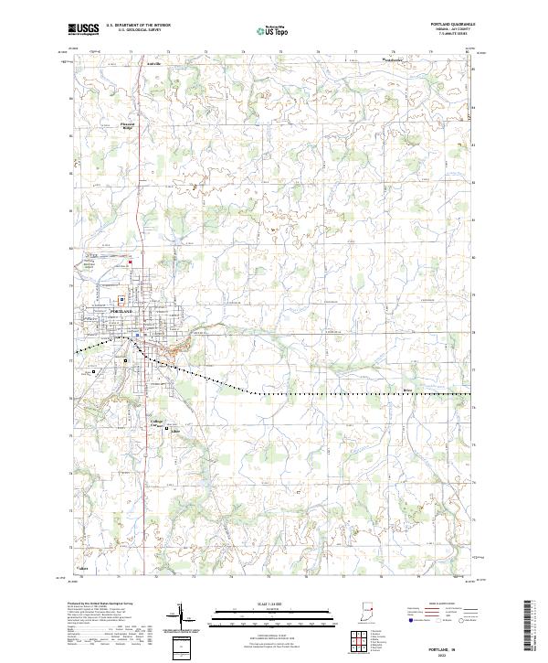
Portland serves as the focal point of this Jay County study, dominated by a dense grid of streets radiating from the Jay County Courthouse. The landscape is defined by an intricate network of drainage ditches and small waterways, such as Kearns Ditch and Houte Ditch, which support the surrounding agricultural economy. Outside the main city, small crossroads communities like Antiville, Westchester, and Brice reflect the traditional settlement patterns of eastern Indiana.
Find a feature on this map
122 named features on this map. Tap any name to fly to it.
Don’t see what you’re looking for? This feature index may not catch every label — zoom into the map to look around manually.
Map Details
Date Portrayed2022
Date Published2022
PublisherU.S. Geological Survey
Map TypeTopographic
Scale1:24000
Physical Dimensions24 x 29 inches
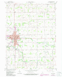
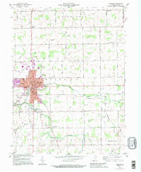
Editions of this 2022 Portland Map
This is the sole edition of this map. No revisions or reprints were ever made.
Historical Maps of Antiville Through Time
Featured Locations
Source Details
SourceU.S. Geological Survey
CopyrightPublic Domain