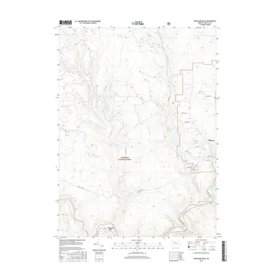
2016 Map of Portland Mills
USGS Topo · Published 2016About this map
Portland Mills and the western outskirts of Ridgway anchor this section of Elk County, where the Clarion River winds through the southern reaches of the Allegheny National Forest. The landscape is defined by a dense network of drainages and forestry roads, including FR 339 and Forest Rd, which provide access to the timberlands and hunting grounds of the Allegheny Plateau. Notable water features like the Ridgway Reservoir and numerous named runs such as Italian Shanty Run, Standing Stone Run, and Bloody Run highlight the region's complex hydrology. For genealogists and local historians, the inclusion of Ott Cem near Evergreen Dr offers a specific point of interest in an area otherwise dominated by the natural topography of the Big Mill Cr and Little Otter Cr valleys.
Find a feature on this map
44 named features on this map. Tap any name to fly to it.
Don’t see what you’re looking for? This feature index may not catch every label — zoom into the map to look around manually.
Map Details
Editions of this 2016 Portland Mills Map
This is the sole edition of this map. No revisions or reprints were ever made.
Other maps of this area

1934 · Kane
USGS Topo · 1:48,000

1935 · Mt. Jewett
USGS Topo · 1:48,000

1939 · Kane
USGS Topo · 1:62,500

1940 · Hallton
USGS Topo · 1:48,000

1940 · Mt. Jewett
USGS Topo · 1:62,500

1941 · Ridgway
USGS Topo · 1:62,500

1943 · Hallton
USGS Topo · 1:62,500

1944 · Ridgway
USGS Topo · 1:62,500

1957 · Warren
USGS Topo · 1:250,000

1958 · Warren
USGS Topo · 1:250,000
Featured Places
- Spring Creek Township, PA
- Portland Mills, Spring Creek Township
- Highland Township, PA
- Ridgway Township, PA
- Elk County, PA