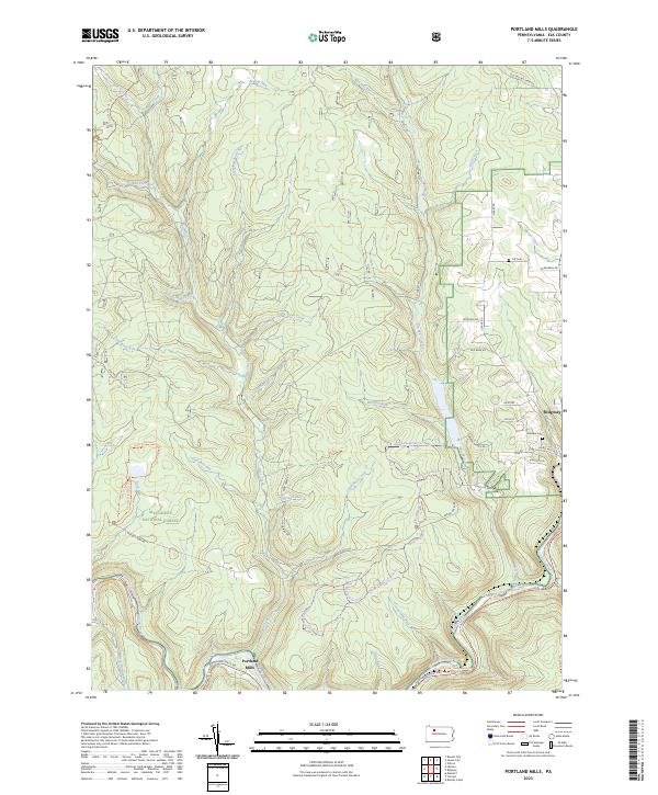
2023 Map of Portland Mills
USGS Topo · Published 2023About this map
The Clarion River winds through the southern edge of this modern survey, defining the landscape around the small settlement of Portland Mills. Located within the Allegheny National Forest, the region is characterized by a dense network of watercourses and recreational trails. Names like Italian Shanty Run, Crow Run, and Pole Road Run hint at the logging and industrial heritage of these Elk County hills, while modern land use is reflected in the extensive trail systems such as the Laurel Mill Ski Trl and the Clarion-Little Toby Creek Trl.
Find a feature on this map
55 named features on this map. Tap any name to fly to it.
Don’t see what you’re looking for? This feature index may not catch every label — zoom into the map to look around manually.
Map Details
Editions of this 2023 Portland Mills Map
This is the sole edition of this map. No revisions or reprints were ever made.
Other maps of this area

1934 · Kane
USGS Topo · 1:48,000

1935 · Mt. Jewett
USGS Topo · 1:48,000

1939 · Kane
USGS Topo · 1:62,500

1940 · Hallton
USGS Topo · 1:48,000

1940 · Mt. Jewett
USGS Topo · 1:62,500

1941 · Ridgway
USGS Topo · 1:62,500

1943 · Hallton
USGS Topo · 1:62,500

1944 · Ridgway
USGS Topo · 1:62,500

1957 · Warren
USGS Topo · 1:250,000

1958 · Warren
USGS Topo · 1:250,000
Featured Places
- Ridgway Township, PA
- Spring Creek Township, PA
- Portland Mills, Spring Creek Township
- Highland Township, PA
- Elk County, PA