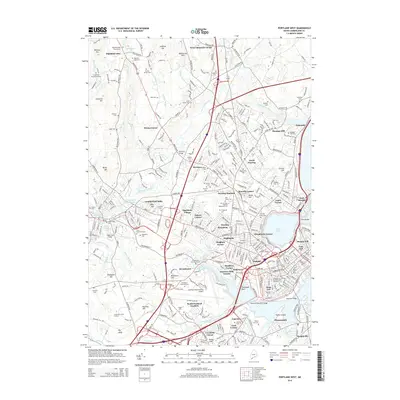
2014 Map of Portland West
USGS Topo · Published 2014About this map
The Presumpscot River and its industrial corridors define the western edge of Portland in this 2014 survey. The map details the transition from the dense urban neighborhoods of the West End, Oakdale, and Munjoy Hill to the suburban and industrial sectors of Cumberland Mills and South Portland Gardens. This era is characterized by significant infrastructure, notably the Portland International Jetport and the convergence of major travel routes at Deering Junction.
Find a feature on this map
109 named features on this map. Tap any name to fly to it.
Don’t see what you’re looking for? This feature index may not catch every label — zoom into the map to look around manually.
Map Details
Editions of this 2014 Portland West Map
This is the sole edition of this map. No revisions or reprints were ever made.
Other maps of this area

1891 · Portland
USGS Topo · 1:62,500

1892 · Freeport
USGS Topo · 1:62,500

1893 · Portland
USGS Topo · 1:62,500

1893 · Casco Bay
USGS Topo · 1:62,500

1894 · Gray
USGS Topo · 1:62,500

1898 · Gray
USGS Topo · 1:62,500

1914 · Portland
USGS Topo · 1:48,000

1914 · Casco Bay
USGS Topo · 1:48,000

1916 · Portland
USGS Topo · 1:62,500

1916 · Casco Bay
USGS Topo · 1:62,500