
1983 Map of Potato Lake
USGS Topo · Published 1983About this map
Dry Potatoe Lake and the high desert terrain of the Oregon outback define this early 1980s manuscript-based survey. The landscape is marked by the presence of ephemeral water sources and family-named landmarks that point to the region's ranching history. Situated along the boundary of Deschutes Co and Lake Co, the map reveals a system of essential water infrastructure such as Browns Well, Parmele Well, and Stauffer Well, alongside the Studhorse Waterhole. These features were vital for survival in an arid environment dominated by large flats like Canary Flat and Ant Flat. The geography is further characterized by volcanic features and high ridges, notably Studhorse Butte and Parmele Ridge, providing a detailed look at the resource-based settlement patterns of this isolated interior region.
Find a feature on this map
15 named features on this map. Tap any name to fly to it.
Don’t see what you’re looking for? This feature index may not catch every label — zoom into the map to look around manually.
Map Details
Editions of this 1983 Potato Lake Map
This is the sole edition of this map. No revisions or reprints were ever made.
Other maps of this area

1955 · Crescent
USGS Topo · 1:250,000

1957 · Crescent
USGS Topo · 1:250,000

1958 · Crescent
USGS Topo · 1:250,000

1970 · Crescent
USGS Topo · 1:250,000
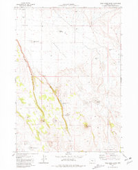
1981 · Tired Horse Butte
USGS Topo · 1:24,000

1981 · Moonlight Butte
USGS Topo · 1:24,000

1981 · Chicago Valley
USGS Topo · 1:24,000

1983 · Benjamin Lake
USGS Topo · 1:24,000

1983 · West of Hampton
USGS Topo · 1:24,000
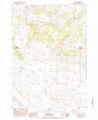
1983 · Hampton
USGS Topo · 1:24,000