
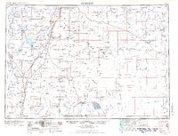
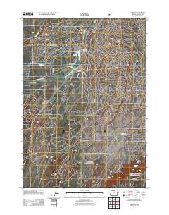
1957 Map of Crescent
USGS Topo · Published 1957About this map
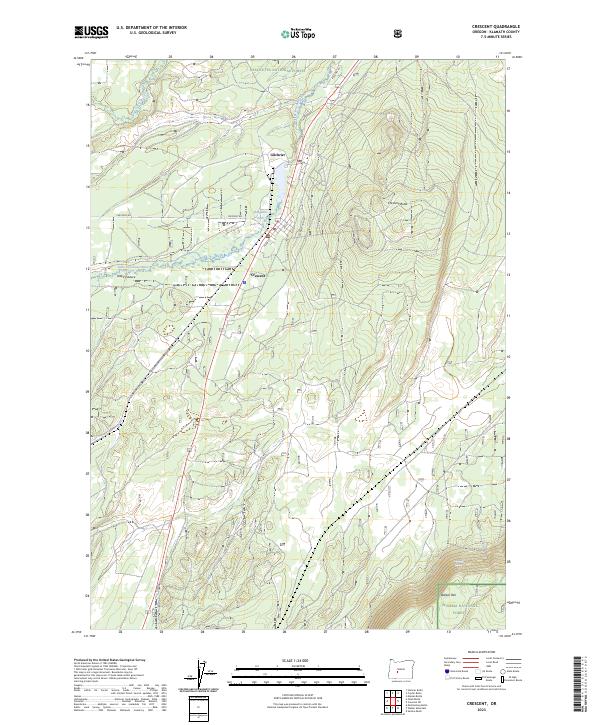
The Klamath Indian Reservation anchors the southern reaches of this mid-century survey, a landscape defined by the transition from volcanic peaks to expansive alkaline lake beds. To the north, the Little Deschutes River winds toward La Pine, while the massive water storage at Wickiup Reservoir and Crane Prairie Reservoir highlights the era’s intensive water management for the high desert. The eastern half of the map reveals the stark topography of the Great Basin, where the Fort Rock Valley sits below the rim of the Newberry Crater and volcanic features like Lava Butte.
Find a feature on this map
73 named features on this map. Tap any name to fly to it.
Don’t see what you’re looking for? This feature index may not catch every label — zoom into the map to look around manually.
Map Details
Editions of this 1957 Crescent Map
This is the sole edition of this map. No revisions or reprints were ever made.
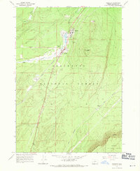
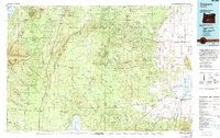
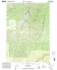
Historical Maps of Bend Through Time
12 maps found
1955 Crescent
Klamath County, OR
1957 Crescent
Klamath County, OR

1958 Crescent
Klamath County, OR
1967 Crescent
Klamath County, OR

1970 Crescent
Klamath County, OR
1979 Crescent
Klamath County, OR
1999 Crescent
Klamath County, OR
2011 Crescent
Klamath County, OR
2014 Crescent
Klamath County, OR
2017 Crescent
Klamath County, OR
2020 Crescent
Klamath County, OR
2023 Crescent
Klamath County, OR