Old Maps of Deschutes River Woods, Oregon
Explore 13 old maps of Deschutes River Woods, spanning from 1931 to today. These high-resolution historic maps reveal how streets, neighborhoods, landmarks, and natural features evolved over time — perfect for genealogy, metal detecting, research, and local history exploration.
What you can do with these maps:
- See how Deschutes River Woods changed over time: Compare historical maps to modern-day views to trace roads, homesites, rail lines & more.
- View detailed metadata: Each map includes creators, publishers, year, scale, and archive source.
- Overlay maps with satellite & LiDAR: Visualize the past alongside modern tools to explore terrain & human change.
- Trusted historical sources: Maps sourced from the USGS, Library of Congress, and other archives.
- Access maps your way: View online, download high-res files, or order prints for personal or research use.
Start exploring old maps of Deschutes River Woods to uncover forgotten places, hidden landmarks, and the deep history beneath your feet.
Deschutes River Woods, OR maps
(13)- 1931 Map of Newberry Crater, 1960 Print
 1931 Newberry Crater1960 Print · USGSDeschutes County was a landscape of timber camps and volcanic wonders in the early 1930s, during a period of heavy logging. Researchers can trace the Logging RR networks, find the Vandevert Sch, and locate industrial sites like Brooks-Scanlon Camp 3.
 - 1935 Map of Newberry Crater
 1935 Newberry Crater1935 Print · USGSDeschutes County in the mid-1930s is a landscape of volcanic wonders and active timber camps. Researchers can locate remote logging outposts like Brooks-Scanlon Camp 2, rural schools including Little River Sch, and geological landmarks like Lava River Cave.3 unique versions available
 - 1955 Map of Crescent, 1963 Print
 1955 Crescent1963 Print · USGSCentral Oregon in the mid-1950s was a landscape of dense national forests and high desert expanses. Researchers can trace timber-era settlements like Gilchrist and Crescent or locate remote outposts such as Stauffer and Millican near the Wagontire Mountains.3 unique versions available
 - 1957 Map of Crescent
 1957 Crescent1957 Print · USGSCentral Oregon’s high desert and volcanic rim are captured here in the late fifties, showing the region before the modernization of its wilderness corridors. Genealogists and local historians can trace rail-line outposts like Chemult and the early boundaries of the Klamath Indian Reservation.
 - 1958 Map of Crescent
 1958 Crescent1958 Print · USGSCentral Oregon’s volcanic high desert and timber country are captured here in the mid-fifties, from the peaks of the Cascades to the arid basins. Researchers can trace the lines of the Southern Pacific RR, the northern reaches of the Klamath Indian Reservation, and remote outposts like Fort Rock.
 - 1963 Map of Lava Butte, 1964 Print
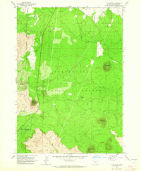 1963 Lava Butte1964 Print · USGSDeschutes County was a landscape of volcanic cones and heavy timber in the early sixties, as shown in this detailed 1963 survey. Researchers can trace the Great Northern railroad and locate local landmarks like the Fire Lookout and Lava River Caves State Park.5 unique versions available
 - 1970 Map of Crescent, 1973 Print
 1970 Crescent1973 Print · USGSCentral Oregon in the early seventies reveals a landscape of volcanic peaks and timber outposts connected by the Southern Pacific rail line. Researchers can trace the layout of Christmas Valley, locate Cabin Lake Ranger Station, and explore the geological footprint of Newberry Crater.
 - 1986 Map of La Pine, 1987 Print
 1986 La Pine1987 Print · USGSCentral Oregon in the mid-1980s was a landscape defined by volcanic geology and the essential waters of the upper Deschutes. Researchers can trace timber and rail history through Gilchrist or explore the vast recreation and irrigation networks at Wickiup Reservoir and Newberry Crater.2 unique versions available
 - 2011 Map of Lava Butte, 2011 Print
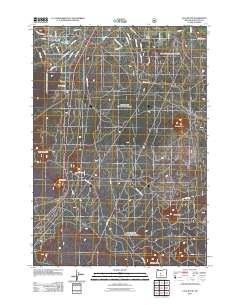 2011 Lava Butte2011 Print · USGSSouth of Bend in the early 21st century, this landscape is defined by its distinct volcanic peaks and the growing network of Deschutes River Woods. You can trace the proximity of the Deschutes River to volcanic landmarks like Lava Butte and Bessie Butte.
 - 2014 Map of Lava Butte, 2014 Print
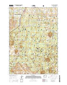 2014 Lava Butte2014 Print · USGSCentral Oregon development meets volcanic terrain in the years following the millennium, showing residential growth south of Bend. Trace the layout of Deschutes River Woods and find landmarks like Lava Butte and Baker Lake among the forest roads.
 - 2017 Map of Lava Butte, 2017 Print
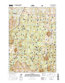 2017 Lava Butte2017 Print · USGSDeschutes County south of Bend is documented here in the late twenty-tens, showing the residential growth of River Woods against a volcanic backdrop. Trace forest access roads to geologic landmarks like Newberry Volcano, Bessie Butte, and Baker Lake.
 - 2020 Map of Lava Butte, 2020 Print
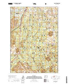 2020 Lava Butte2020 Print · USGSThe volcanic landscape south of Bend comes into focus in this contemporary survey, where residential growth meets the high desert. Researchers can trace the boundaries of Deschutes River Woods and navigate landmarks like Lava Butte Rim or the Trail of Molten Lands.
 - 2024 Map of Lava Butte, 2024 Print
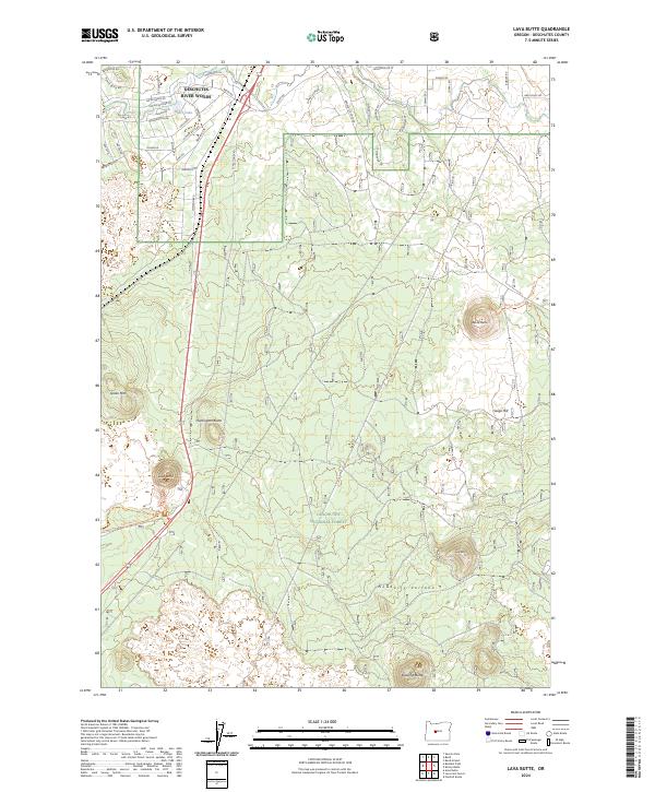 2024 Lava Butte2024 Print · USGSDeschutes County showcases a landscape shaped by recent volcanic history in this modern survey. Researchers can trace the layout of Deschutes River Woods and locate prominent geological landmarks like Lava Butte and Huntington Butte.
End of results
Showing maps 1-13 of 13
Top cities near Deschutes River Woods
Frequently asked questions
- What are the different types of historical maps available for Deschutes River Woods?
- What is the oldest map of Deschutes River Woods?
- Where can I purchase historical maps of Deschutes River Woods for my home or office?
- Where can I download high-res historical maps of Deschutes River Woods?
- Are there historical topographic maps available for Deschutes River Woods?
- Is there historical aerial imagery available for Deschutes River Woods?
- Where are historical maps of Deschutes River Woods sourced from?