
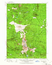
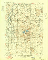
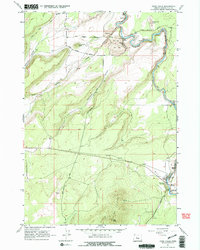
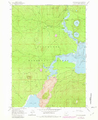
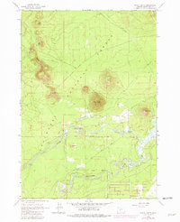
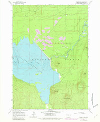
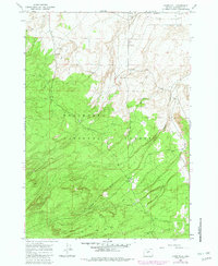
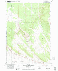
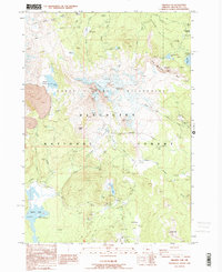
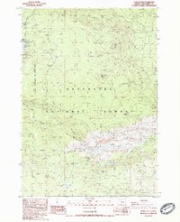
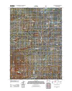
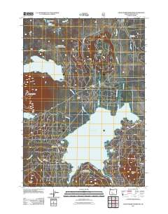
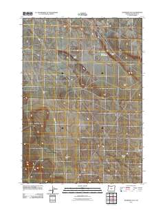
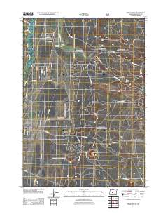
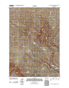
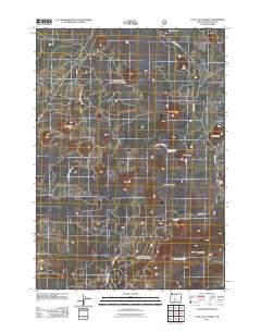
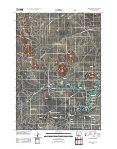
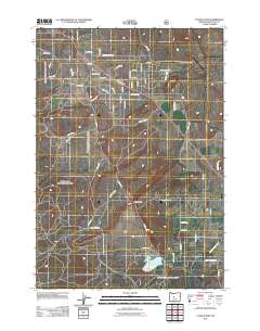
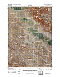
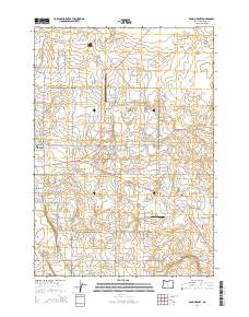
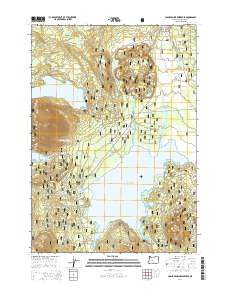
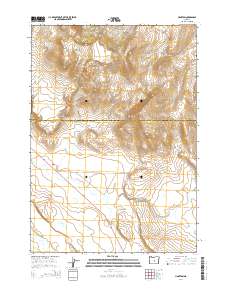
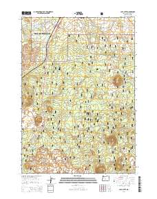
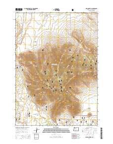
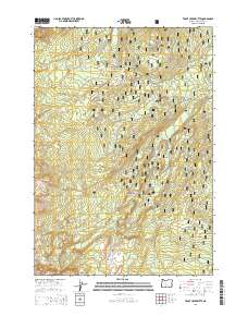
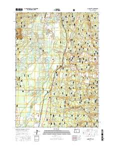
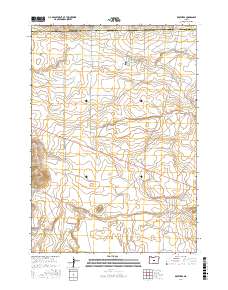
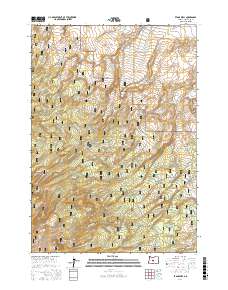
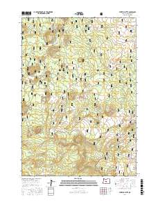
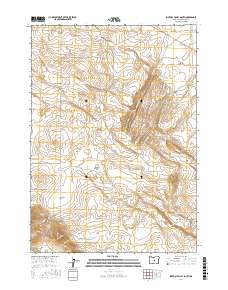
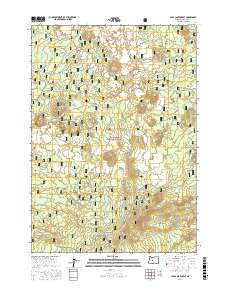
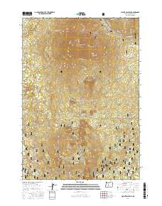
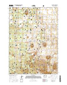
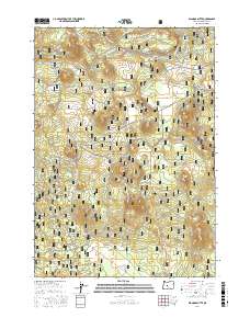
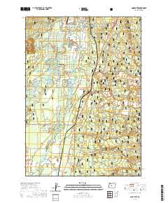
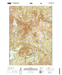
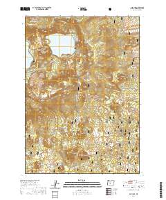
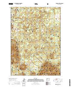
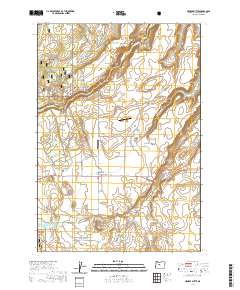
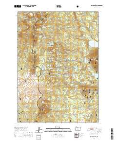
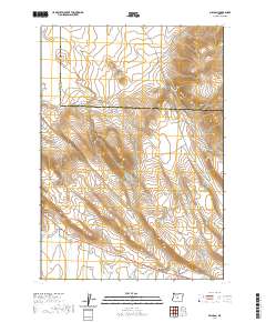
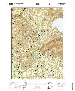
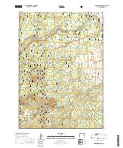
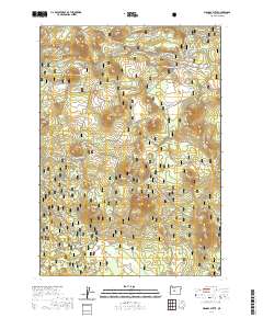
1931 Map of Newberry Crater
USGS Topo · Published 1960About this map
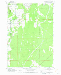
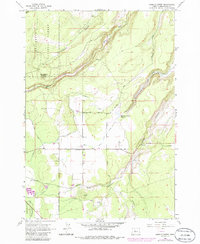
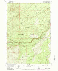
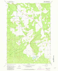
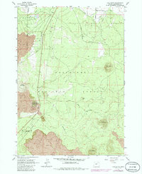
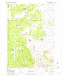
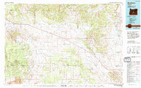
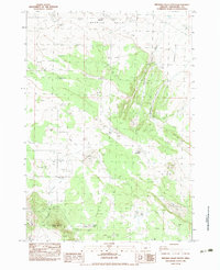
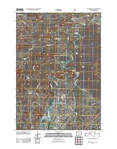
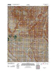
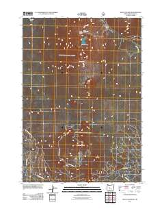
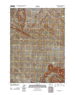
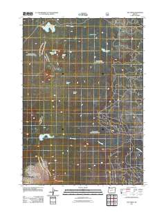
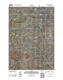
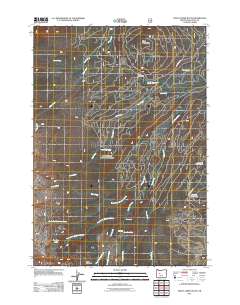
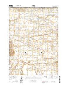
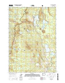
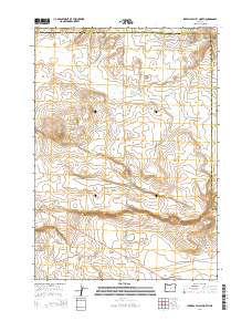
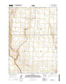
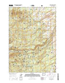
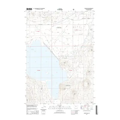
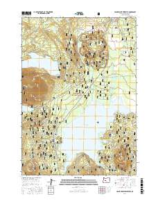
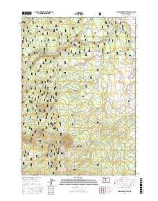
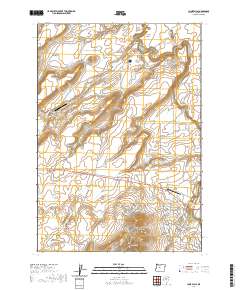
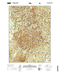
Newberry Crater dominates this volcanic landscape in central Oregon, holding Paulina Lake and East Lake within its distinctive caldera. In the early 1930s, this area was a convergence of natural geologic wonders and industrial expansion. The timber industry is highly visible through the presence of Brooks-Scanlon Camp 2 and Brooks-Scanlon Camp 3, connected by an extensive network of Logging RR lines. Along the Deschutes River, several falls including Lava Island Falls and Benham Falls mark the water's path near the northern border. Cultural landmarks of the era are well-documented, from the Vandevert Sch and Stookey Ranch to the Oregon Trunk Railway corridor. The map also highlights unique subterranean features such as the Lava River Cave and Arnold Ice Cave, which drew early interest to the volcanic terrain of the Paulina Mountains.
Find a feature on this map
95 named features on this map. Tap any name to fly to it.
Don’t see what you’re looking for? This feature index may not catch every label — zoom into the map to look around manually.
Map Details
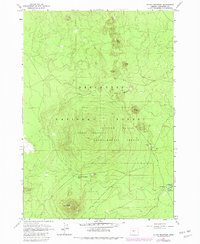
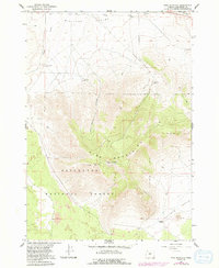
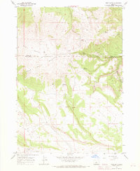
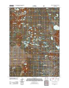
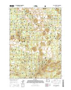
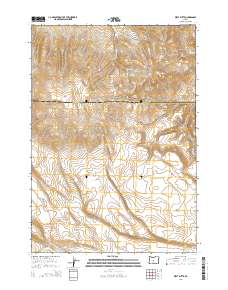
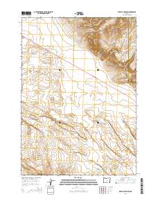
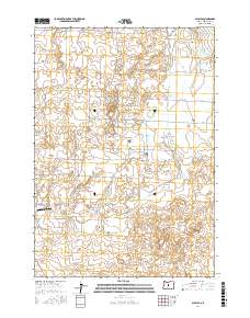
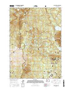
Editions of this 1931 Newberry Crater Map
This is the sole edition of this map. No revisions or reprints were ever made.
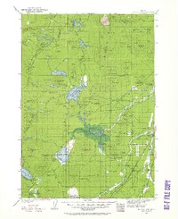
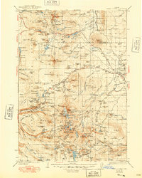
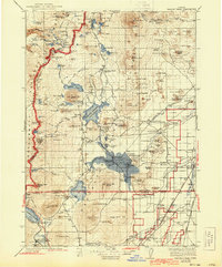
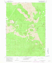
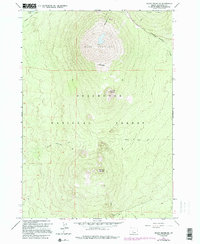
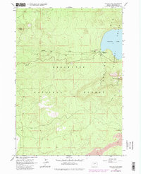
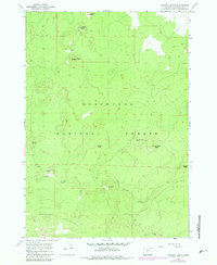
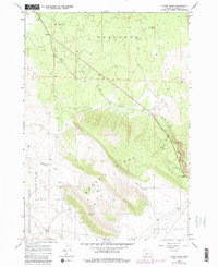
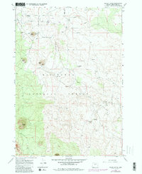
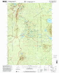
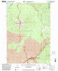
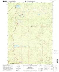
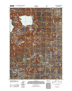
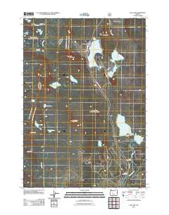
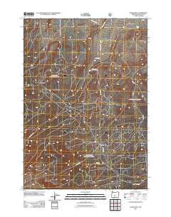
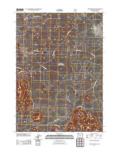
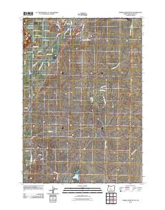
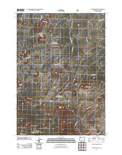
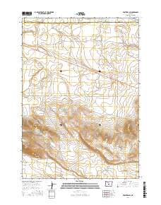
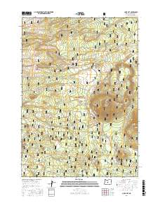
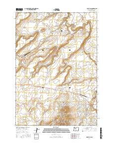
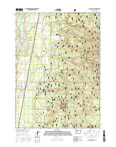
Historical Maps of Bend Through Time
313 maps found
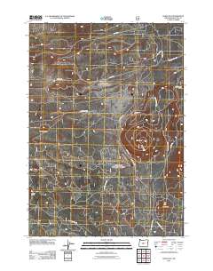
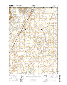
1929 Three Sisters
Deschutes County, OR
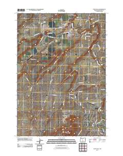
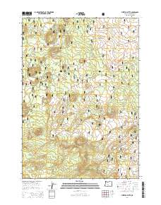
1930 Maiden Peak
Deschutes County, OR
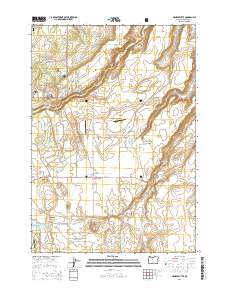
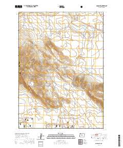
1931 Newberry Crater
Deschutes County, OR
1932 Three Sisters
Deschutes County, OR
1934 Maiden Peak
Deschutes County, OR
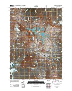
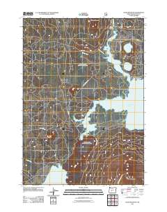
1935 Newberry Crater
Deschutes County, OR
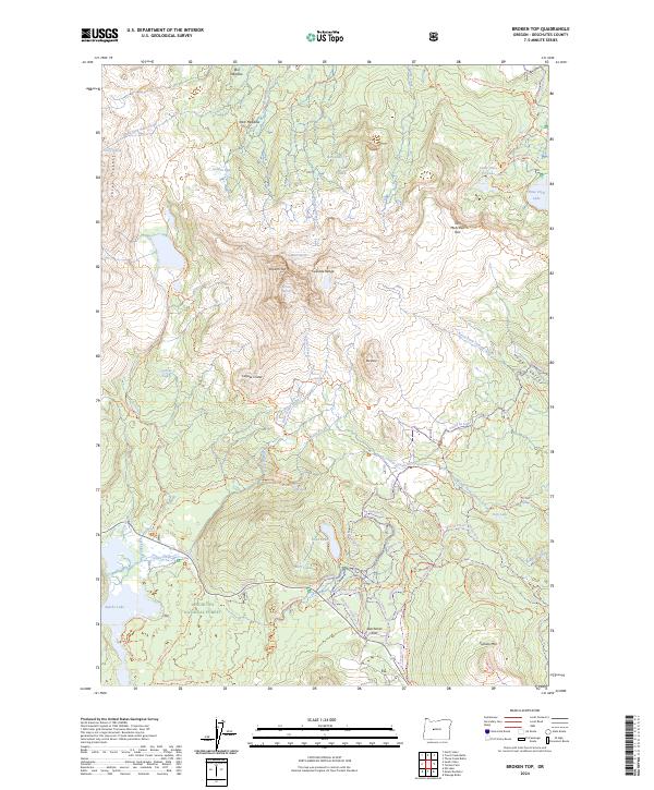
1959 Broken Top
Deschutes County, OR
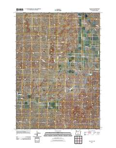
1962 Alfalfa
Deschutes County, OR
1962 Bend Airport
Deschutes County, OR
1962 Cline Falls
Deschutes County, OR
1962 Forked Horn Butte
Deschutes County, OR
1962 Henkle Butte
Deschutes County, OR
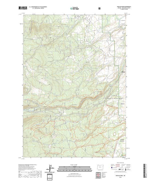
1962 Shevlin Park
Deschutes County, OR
1962 Tumalo Dam
Deschutes County, OR
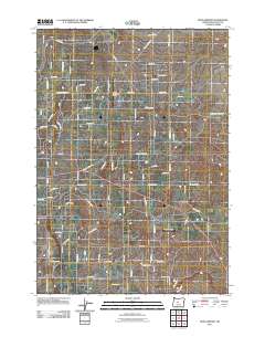
1963 Anns Butte
Deschutes County, OR
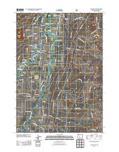
1963 Benham Falls
Deschutes County, OR
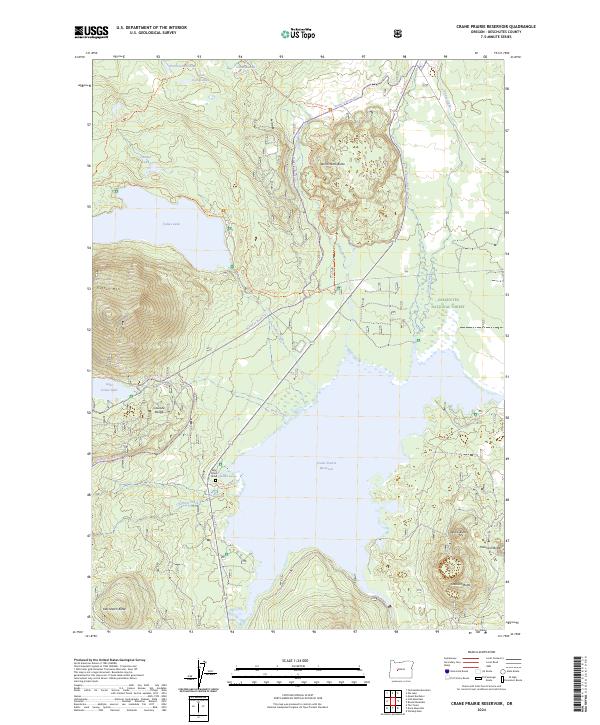
1963 Crane Prairie Reservoir
Deschutes County, OR
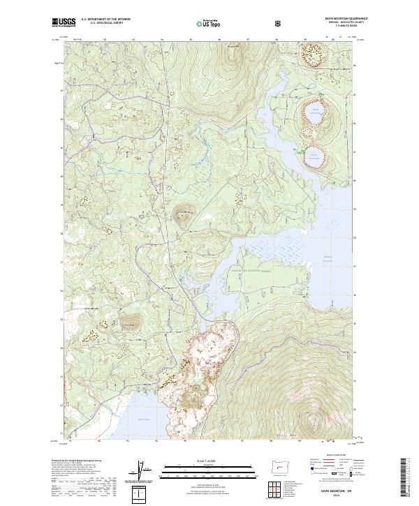
1963 Davis Mountain
Deschutes County, OR
1963 Elk Lake
Deschutes County, OR
1963 Finley Butte
Deschutes County, OR
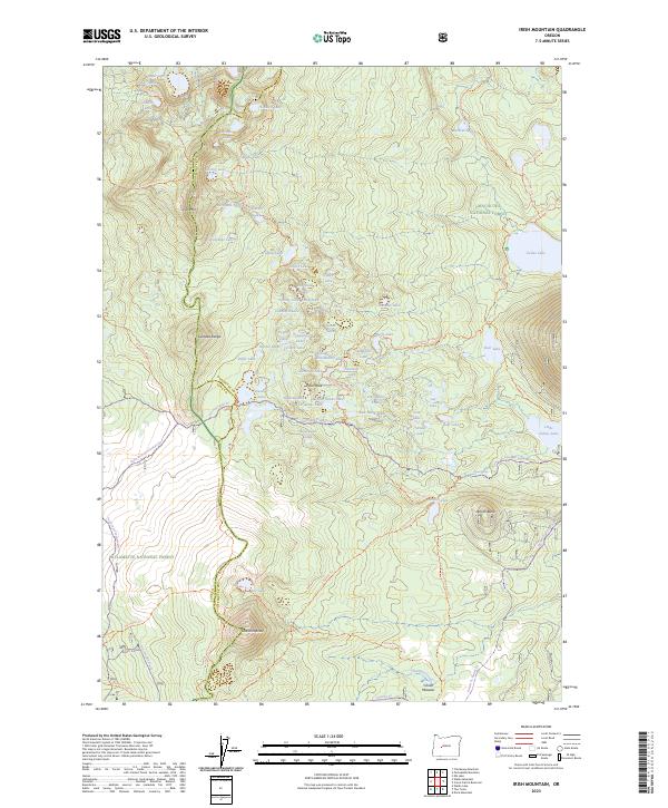
1963 Irish Mountain
Deschutes County, OR
1963 Lava Butte
Deschutes County, OR
1963 Lava Cast Forest
Deschutes County, OR
1963 Mount Bachelor
Deschutes County, OR
1963 Paulina Peak
Deschutes County, OR
1963 Pistol Butte
Deschutes County, OR
1963 Round Mountain
Deschutes County, OR
1963 The Twins
Deschutes County, OR
1963 Wanoga Butte
Deschutes County, OR
1963 Wickiup Dam
Deschutes County, OR
1966 Millican SE
Deschutes County, OR
1967 Brothers
Deschutes County, OR
1967 Brothers SW
Deschutes County, OR
1967 Evans Well
Deschutes County, OR
1967 Fuzztail Butte
Deschutes County, OR
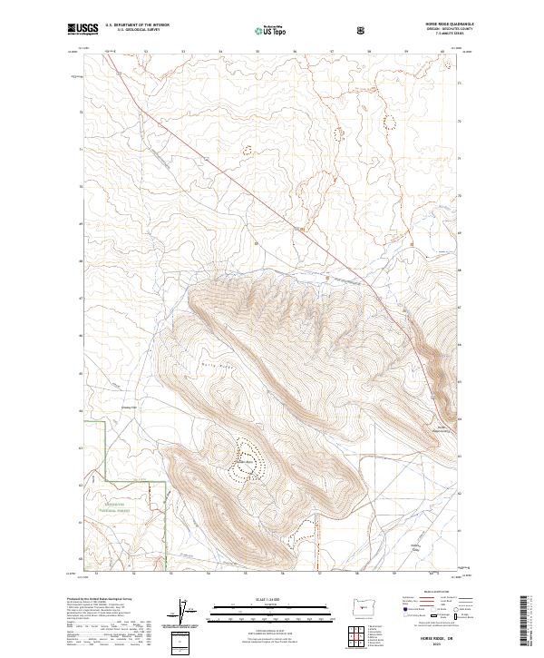
1967 Horse Ridge
Deschutes County, OR
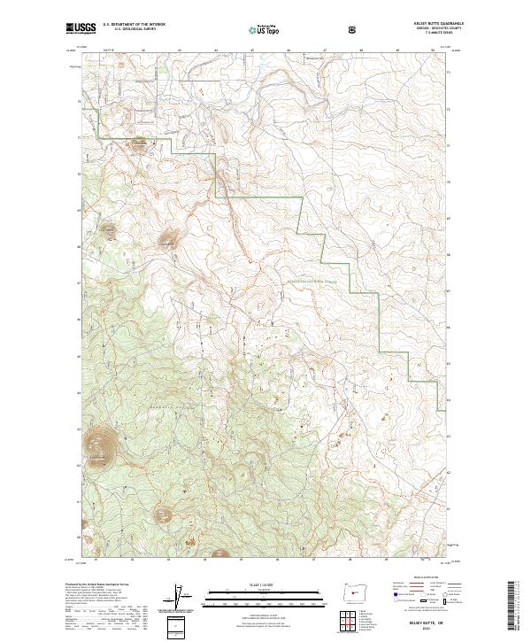
1967 Kelsey Butte
Deschutes County, OR
1967 Millican
Deschutes County, OR
1967 Pine Mountain
Deschutes County, OR
1967 West Butte
Deschutes County, OR
1974 Newberry Crater 4 NW
Deschutes County, OR
1981 Plot Butte
Deschutes County, OR
1982 China Hat
Deschutes County, OR
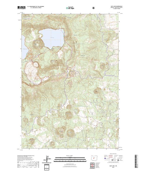
1982 East Lake
Deschutes County, OR
1982 Firestone Butte
Deschutes County, OR
1983 Brothers
Deschutes County, OR
1983 Dickerson Flat
Deschutes County, OR
1983 Hampton
Deschutes County, OR
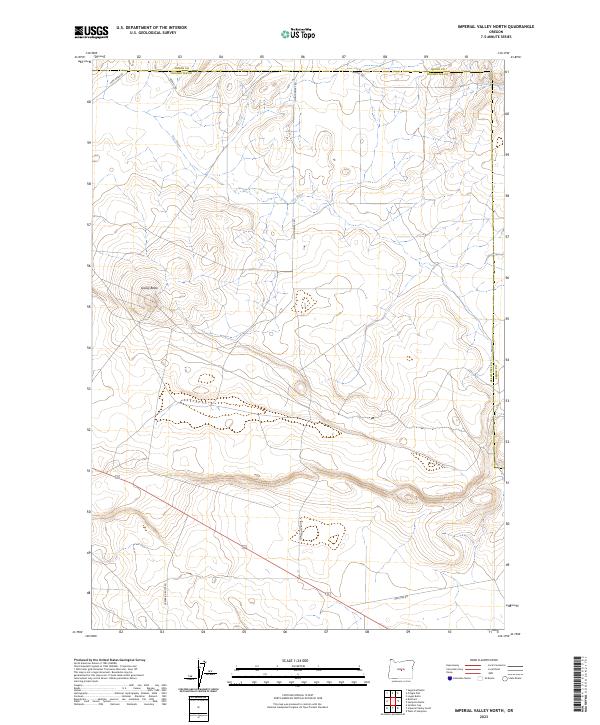
1983 Imperial Valley North
Deschutes County, OR
1983 Imperial Valley South
Deschutes County, OR
1983 Soldiers Cap
Deschutes County, OR
1983 West of Hampton
Deschutes County, OR
1988 Black Crater
Deschutes County, OR
1988 Broken Top
Deschutes County, OR
1988 Mt. Washington
Deschutes County, OR
1988 Three Creek Butte
Deschutes County, OR
1988 Trout Creek Butte
Deschutes County, OR
1988 Tumalo Falls
Deschutes County, OR
1997 Irish Mountain
Deschutes County, OR
1997 Mount Washington
Deschutes County, OR
1997 The Twins
Deschutes County, OR
2011 Alfalfa
Deschutes County, OR
2011 Anns Butte
Deschutes County, OR
2011 Bend Airport
Deschutes County, OR
2011 Benham Falls
Deschutes County, OR
2011 Black Crater
Deschutes County, OR
2011 Broken Top
Deschutes County, OR
2011 Brothers
Deschutes County, OR
2011 Brothers SW
Deschutes County, OR
2011 China Hat
Deschutes County, OR
2011 Cline Falls
Deschutes County, OR
2011 Crane Prairie Reservoir
Deschutes County, OR
2011 Davis Mountain
Deschutes County, OR
2011 Dickerson Flat
Deschutes County, OR
2011 East Lake
Deschutes County, OR
2011 Elk Lake
Deschutes County, OR
2011 Evans Well
Deschutes County, OR
2011 Finley Butte
Deschutes County, OR
2011 Firestone Butte
Deschutes County, OR
2011 Forked Horn Butte
Deschutes County, OR
2011 Fuzztail Butte
Deschutes County, OR
2011 Hampton
Deschutes County, OR
2011 Henkle Butte
Deschutes County, OR
2011 Horse Ridge
Deschutes County, OR
2011 Imperial Valley North
Deschutes County, OR
2011 Imperial Valley South
Deschutes County, OR
2011 Irish Mountain
Deschutes County, OR
2011 Kelsey Butte
Deschutes County, OR
2011 Lava Butte
Deschutes County, OR
2011 Lava Cast Forest
Deschutes County, OR
2011 Millican
Deschutes County, OR
2011 Millican SE
Deschutes County, OR
2011 Misery Flat
Deschutes County, OR
2011 Mount Bachelor
Deschutes County, OR
2011 Mount Washington
Deschutes County, OR
2011 Paulina Peak
Deschutes County, OR
2011 Pine Mountain
Deschutes County, OR
2011 Pistol Butte
Deschutes County, OR
2011 Plot Butte
Deschutes County, OR
2011 Round Mountain
Deschutes County, OR
2011 Shevlin Park
Deschutes County, OR
2011 Soldiers Cap
Deschutes County, OR
2011 The Twins
Deschutes County, OR
2011 Three Creek Butte
Deschutes County, OR
2011 Trout Creek Butte
Deschutes County, OR
2011 Tumalo Dam
Deschutes County, OR
2011 Tumalo Falls
Deschutes County, OR
2011 Wanoga Butte
Deschutes County, OR
2011 West Butte
Deschutes County, OR
2011 West of Hampton
Deschutes County, OR
2011 Wickiup Dam
Deschutes County, OR
2014 Alfalfa
Deschutes County, OR
2014 Anns Butte
Deschutes County, OR
2014 Bend Airport
Deschutes County, OR
2014 Benham Falls
Deschutes County, OR
2014 Black Crater
Deschutes County, OR
2014 Broken Top
Deschutes County, OR
2014 Brothers
Deschutes County, OR
2014 Brothers SW
Deschutes County, OR
2014 China Hat
Deschutes County, OR
2014 Cline Falls
Deschutes County, OR
2014 Crane Prairie Reservoir
Deschutes County, OR
2014 Davis Mountain
Deschutes County, OR
2014 Dickerson Flat
Deschutes County, OR
2014 East Lake
Deschutes County, OR
2014 Elk Lake
Deschutes County, OR
2014 Evans Well
Deschutes County, OR
2014 Finley Butte
Deschutes County, OR
2014 Firestone Butte
Deschutes County, OR
2014 Forked Horn Butte
Deschutes County, OR
2014 Fuzztail Butte
Deschutes County, OR
2014 Hampton
Deschutes County, OR
2014 Henkle Butte
Deschutes County, OR

2014 Horse Ridge
Deschutes County, OR
2014 Imperial Valley North
Deschutes County, OR
2014 Imperial Valley South
Deschutes County, OR
2014 Irish Mountain
Deschutes County, OR
2014 Kelsey Butte
Deschutes County, OR
2014 Lava Butte
Deschutes County, OR
2014 Lava Cast Forest
Deschutes County, OR
2014 Millican
Deschutes County, OR
2014 Millican SE
Deschutes County, OR
2014 Misery Flat
Deschutes County, OR
2014 Mount Bachelor
Deschutes County, OR
2014 Mount Washington
Deschutes County, OR
2014 Paulina Peak
Deschutes County, OR
2014 Pine Mountain
Deschutes County, OR
2014 Pistol Butte
Deschutes County, OR
2014 Plot Butte
Deschutes County, OR
2014 Round Mountain
Deschutes County, OR
2014 Shevlin Park
Deschutes County, OR
2014 Soldiers Cap
Deschutes County, OR
2014 The Twins
Deschutes County, OR
2014 Three Creek Butte
Deschutes County, OR
2014 Trout Creek Butte
Deschutes County, OR
2014 Tumalo Dam
Deschutes County, OR
2014 Tumalo Falls
Deschutes County, OR
2014 Wanoga Butte
Deschutes County, OR
2014 West Butte
Deschutes County, OR
2014 West of Hampton
Deschutes County, OR
2014 Wickiup Dam
Deschutes County, OR
2017 Alfalfa
Deschutes County, OR
2017 Anns Butte
Deschutes County, OR
2017 Bend Airport
Deschutes County, OR

2017 Benham Falls
Deschutes County, OR
2017 Black Crater
Deschutes County, OR
2017 Broken Top
Deschutes County, OR
2017 Brothers
Deschutes County, OR
2017 Brothers SW
Deschutes County, OR
2017 China Hat
Deschutes County, OR
2017 Cline Falls
Deschutes County, OR
2017 Crane Prairie Reservoir
Deschutes County, OR
2017 Davis Mountain
Deschutes County, OR

2017 Dickerson Flat
Deschutes County, OR
2017 East Lake
Deschutes County, OR
2017 Elk Lake
Deschutes County, OR
2017 Evans Well
Deschutes County, OR
2017 Finley Butte
Deschutes County, OR
2017 Firestone Butte
Deschutes County, OR
2017 Forked Horn Butte
Deschutes County, OR
2017 Fuzztail Butte
Deschutes County, OR
2017 Hampton
Deschutes County, OR
2017 Henkle Butte
Deschutes County, OR
2017 Horse Ridge
Deschutes County, OR

2017 Imperial Valley North
Deschutes County, OR
2017 Imperial Valley South
Deschutes County, OR
2017 Irish Mountain
Deschutes County, OR
2017 Kelsey Butte
Deschutes County, OR
2017 Lava Butte
Deschutes County, OR
2017 Lava Cast Forest
Deschutes County, OR
2017 Millican
Deschutes County, OR
2017 Millican SE
Deschutes County, OR
2017 Misery Flat
Deschutes County, OR
2017 Mount Bachelor
Deschutes County, OR
2017 Mount Washington
Deschutes County, OR
2017 Paulina Peak
Deschutes County, OR

2017 Pine Mountain
Deschutes County, OR
2017 Pistol Butte
Deschutes County, OR
2017 Plot Butte
Deschutes County, OR
2017 Round Mountain
Deschutes County, OR
2017 Shevlin Park
Deschutes County, OR
2017 Soldiers Cap
Deschutes County, OR

2017 The Twins
Deschutes County, OR
2017 Three Creek Butte
Deschutes County, OR
2017 Trout Creek Butte
Deschutes County, OR
2017 Tumalo Dam
Deschutes County, OR
2017 Tumalo Falls
Deschutes County, OR
2017 Wanoga Butte
Deschutes County, OR

2017 West Butte
Deschutes County, OR
2017 West of Hampton
Deschutes County, OR
2017 Wickiup Dam
Deschutes County, OR
2020 Alfalfa
Deschutes County, OR
2020 Anns Butte
Deschutes County, OR
2020 Bend Airport
Deschutes County, OR
2020 Benham Falls
Deschutes County, OR
2020 Black Crater
Deschutes County, OR
2020 Broken Top
Deschutes County, OR
2020 Brothers
Deschutes County, OR
2020 Brothers SW
Deschutes County, OR
2020 China Hat
Deschutes County, OR
2020 Cline Falls
Deschutes County, OR
2020 Crane Prairie Reservoir
Deschutes County, OR
2020 Davis Mountain
Deschutes County, OR
2020 Dickerson Flat
Deschutes County, OR
2020 East Lake
Deschutes County, OR
2020 Elk Lake
Deschutes County, OR
2020 Evans Well
Deschutes County, OR
2020 Finley Butte
Deschutes County, OR
2020 Firestone Butte
Deschutes County, OR
2020 Forked Horn Butte
Deschutes County, OR
2020 Fuzztail Butte
Deschutes County, OR
2020 Hampton
Deschutes County, OR
2020 Henkle Butte
Deschutes County, OR
2020 Horse Ridge
Deschutes County, OR
2020 Imperial Valley North
Deschutes County, OR
2020 Imperial Valley South
Deschutes County, OR
2020 Irish Mountain
Deschutes County, OR
2020 Kelsey Butte
Deschutes County, OR
2020 Lava Butte
Deschutes County, OR
2020 Lava Cast Forest
Deschutes County, OR
2020 Millican
Deschutes County, OR
2020 Millican SE
Deschutes County, OR
2020 Misery Flat
Deschutes County, OR
2020 Mount Bachelor
Deschutes County, OR

2020 Mount Washington
Deschutes County, OR
2020 Paulina Peak
Deschutes County, OR
2020 Pine Mountain
Deschutes County, OR
2020 Pistol Butte
Deschutes County, OR
2020 Plot Butte
Deschutes County, OR
2020 Round Mountain
Deschutes County, OR
2020 Shevlin Park
Deschutes County, OR
2020 Soldiers Cap
Deschutes County, OR
2020 The Twins
Deschutes County, OR
2020 Three Creek Butte
Deschutes County, OR
2020 Trout Creek Butte
Deschutes County, OR
2020 Tumalo Dam
Deschutes County, OR
2020 Tumalo Falls
Deschutes County, OR
2020 Wanoga Butte
Deschutes County, OR
2020 West Butte
Deschutes County, OR
2020 West of Hampton
Deschutes County, OR
2020 Wickiup Dam
Deschutes County, OR
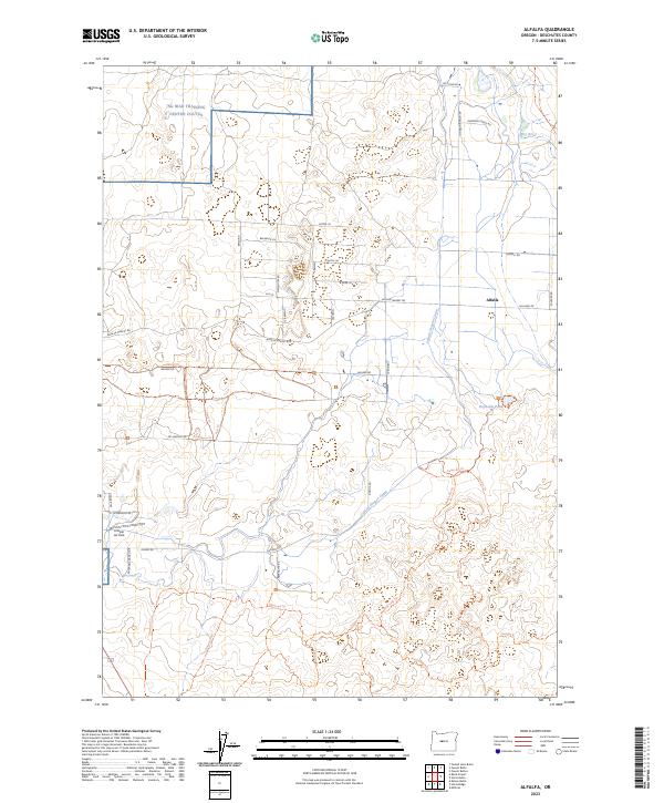
2023 Alfalfa
Deschutes County, OR
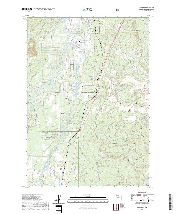
2023 Anns Butte
Deschutes County, OR
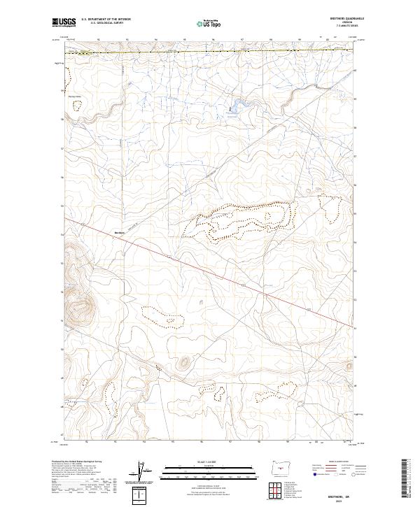
2023 Brothers
Deschutes County, OR
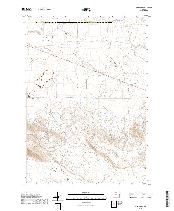
2023 Brothers SW
Deschutes County, OR
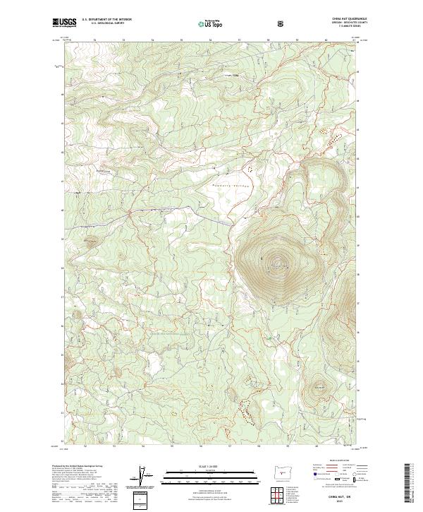
2023 China Hat
Deschutes County, OR
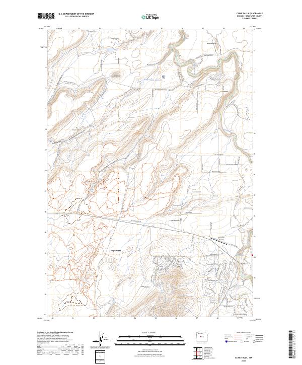
2023 Cline Falls
Deschutes County, OR
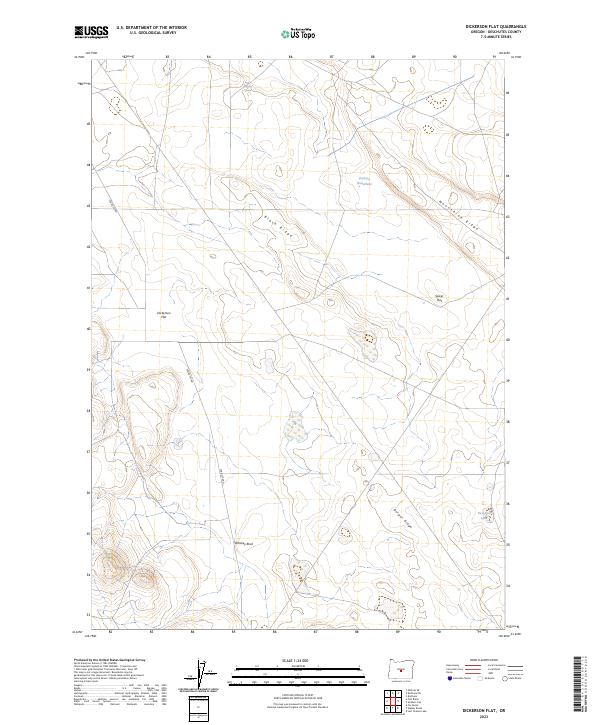
2023 Dickerson Flat
Deschutes County, OR
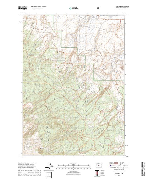
2023 Evans Well
Deschutes County, OR
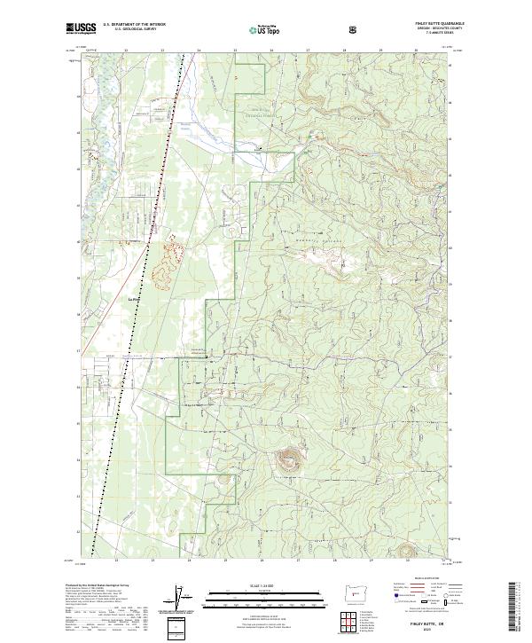
2023 Finley Butte
Deschutes County, OR
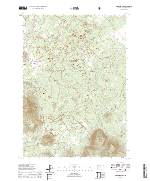
2023 Firestone Butte
Deschutes County, OR
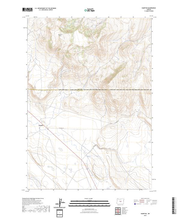
2023 Hampton
Deschutes County, OR
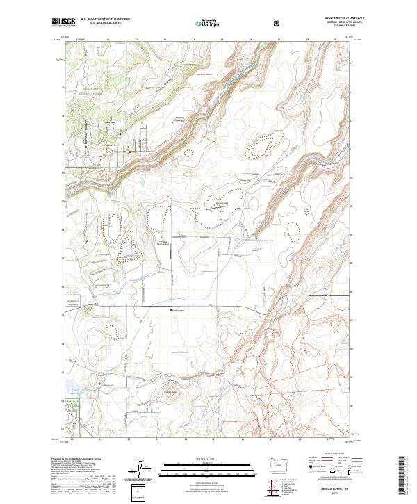
2023 Henkle Butte
Deschutes County, OR
2023 Horse Ridge
Deschutes County, OR
2023 Imperial Valley North
Deschutes County, OR
2023 Irish Mountain
Deschutes County, OR
2023 Kelsey Butte
Deschutes County, OR
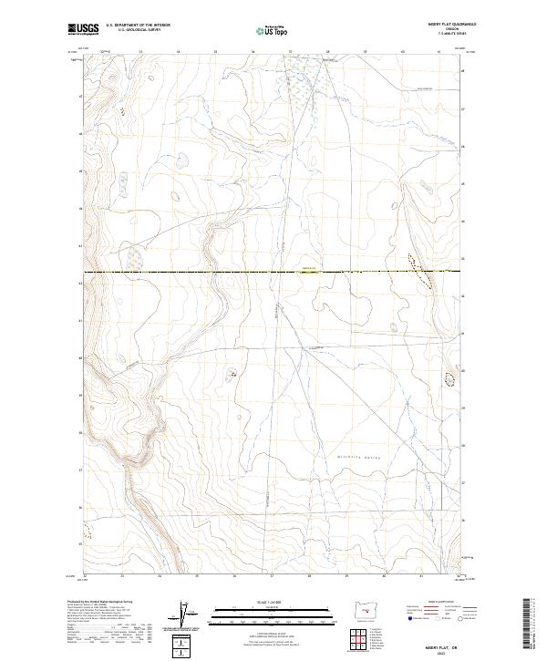
2023 Misery Flat
Deschutes County, OR
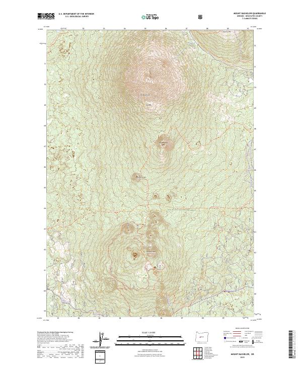
2023 Mount Bachelor
Deschutes County, OR
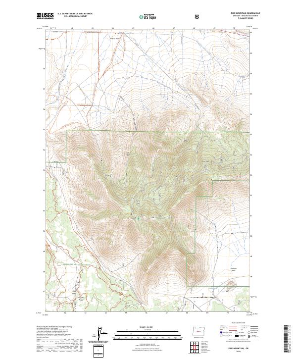
2023 Pine Mountain
Deschutes County, OR
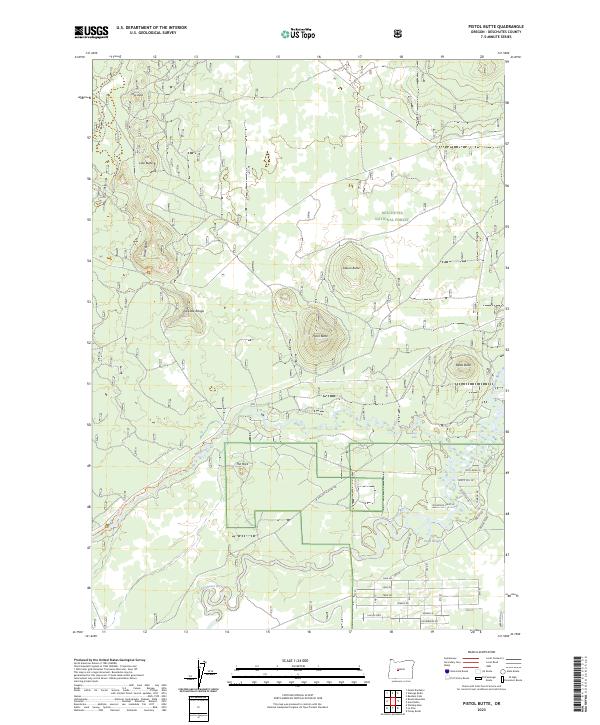
2023 Pistol Butte
Deschutes County, OR
2023 Plot Butte
Deschutes County, OR
2023 Soldiers Cap
Deschutes County, OR
2023 The Twins
Deschutes County, OR
2023 Three Creek Butte
Deschutes County, OR
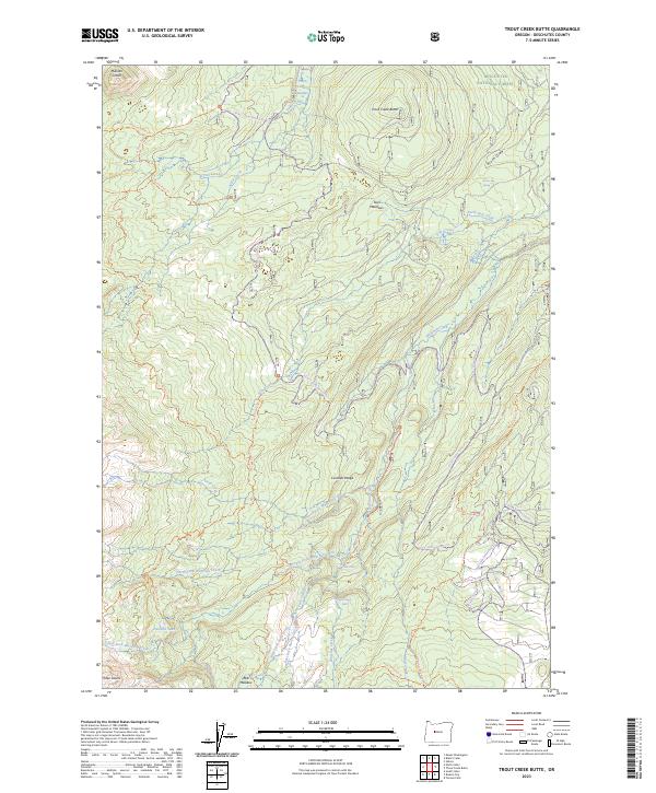
2023 Trout Creek Butte
Deschutes County, OR
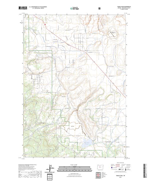
2023 Tumalo Dam
Deschutes County, OR
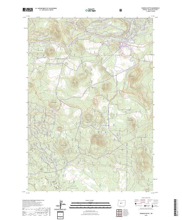
2023 Wanoga Butte
Deschutes County, OR
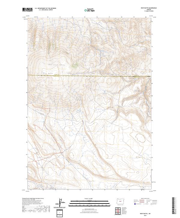
2023 West Butte
Deschutes County, OR
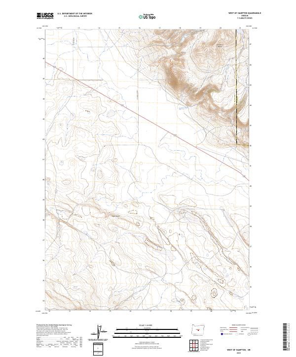
2023 West of Hampton
Deschutes County, OR
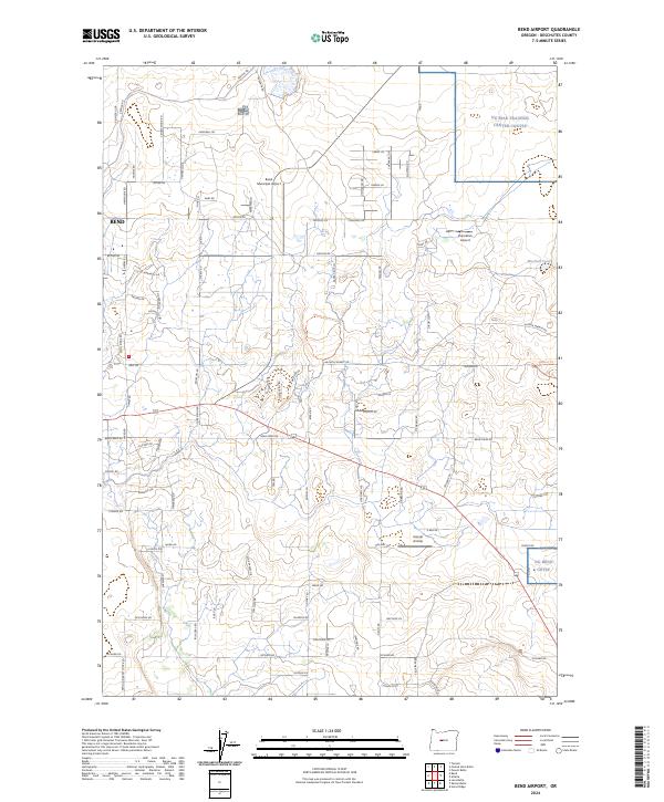
2024 Bend Airport
Deschutes County, OR
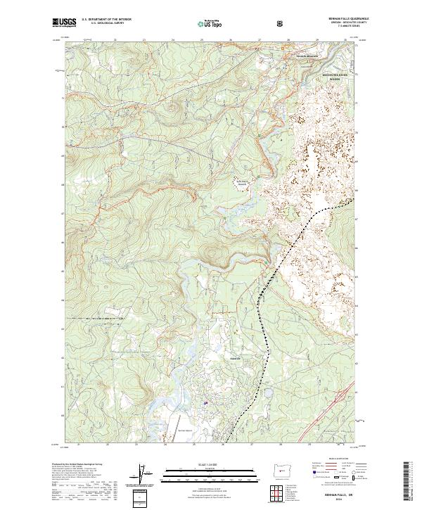
2024 Benham Falls
Deschutes County, OR
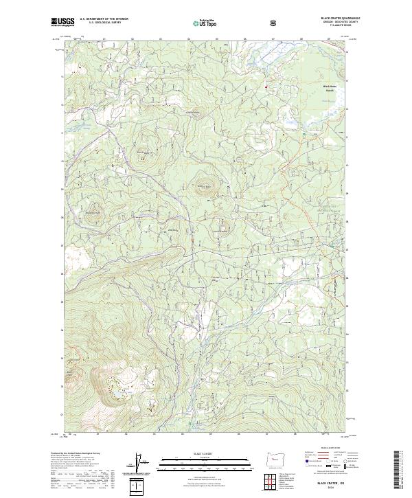
2024 Black Crater
Deschutes County, OR
2024 Broken Top
Deschutes County, OR
2024 Crane Prairie Reservoir
Deschutes County, OR
2024 Davis Mountain
Deschutes County, OR
2024 East Lake
Deschutes County, OR
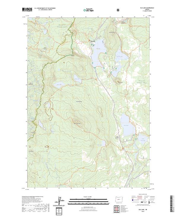
2024 Elk Lake
Deschutes County, OR
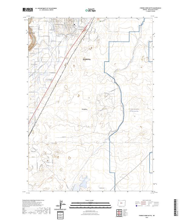
2024 Forked Horn Butte
Deschutes County, OR
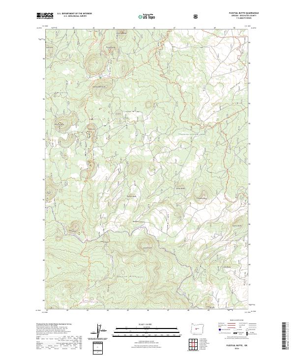
2024 Fuzztail Butte
Deschutes County, OR
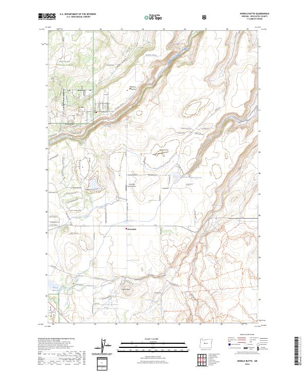
2024 Henkle Butte
Deschutes County, OR
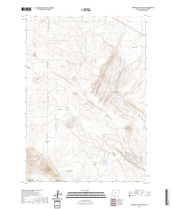
2024 Imperial Valley South
Deschutes County, OR
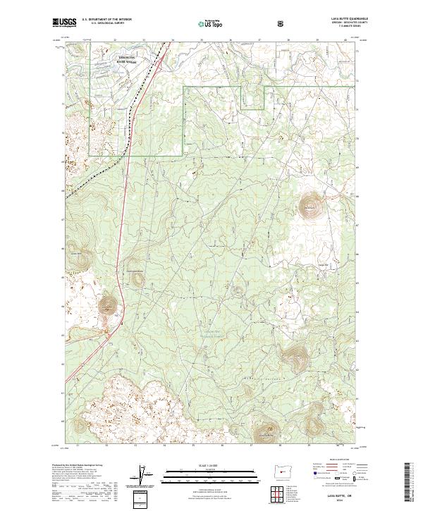
2024 Lava Butte
Deschutes County, OR
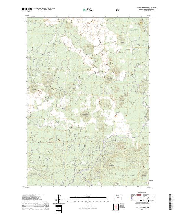
2024 Lava Cast Forest
Deschutes County, OR
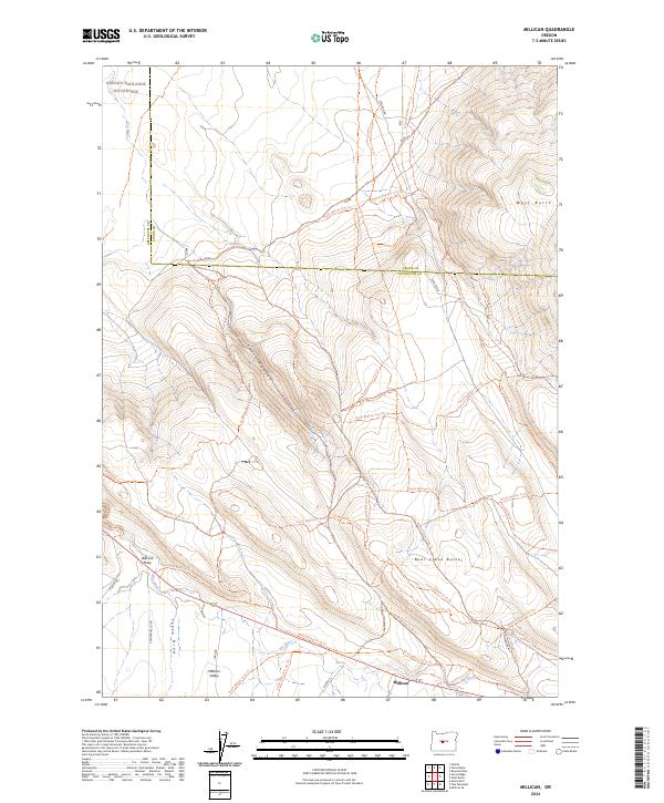
2024 Millican
Deschutes County, OR
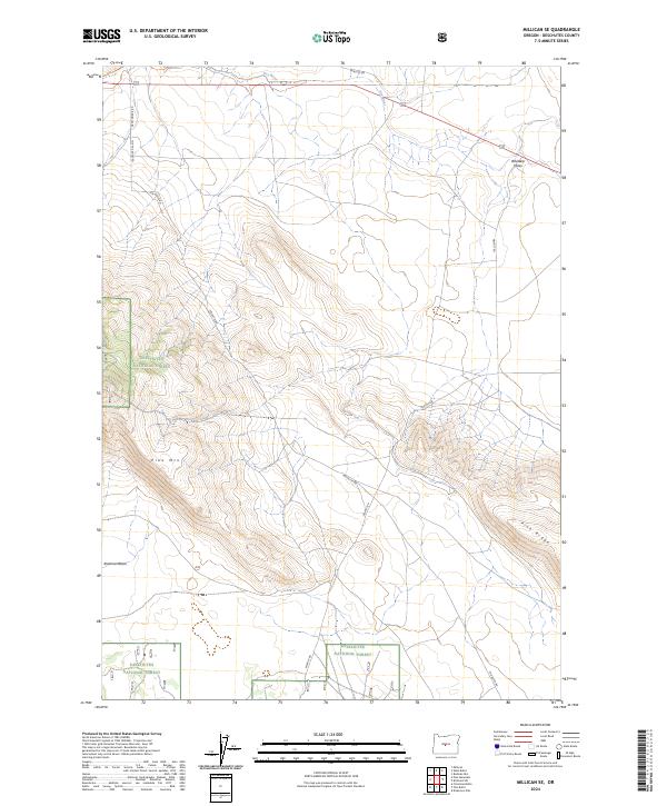
2024 Millican SE
Deschutes County, OR
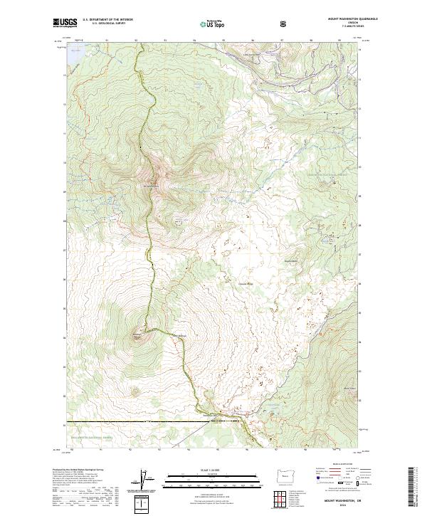
2024 Mount Washington
Deschutes County, OR
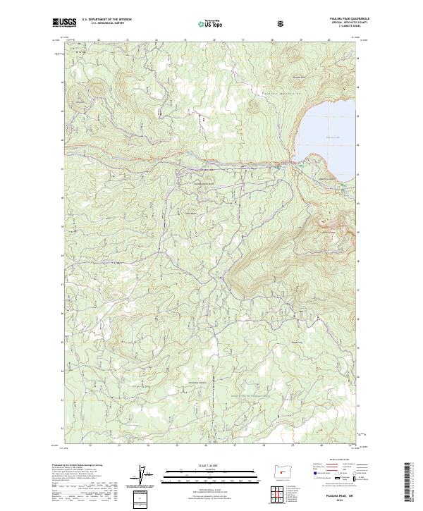
2024 Paulina Peak
Deschutes County, OR
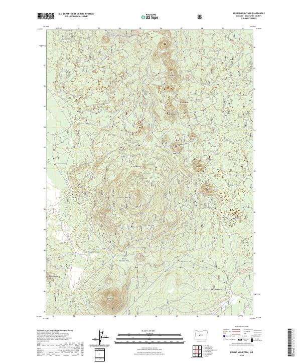
2024 Round Mountain
Deschutes County, OR
2024 Shevlin Park
Deschutes County, OR
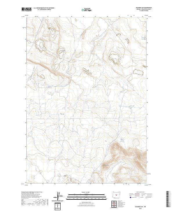
2024 Soldiers Cap
Deschutes County, OR
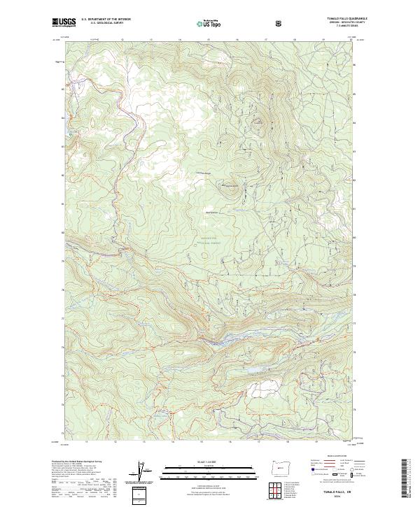
2024 Tumalo Falls
Deschutes County, OR
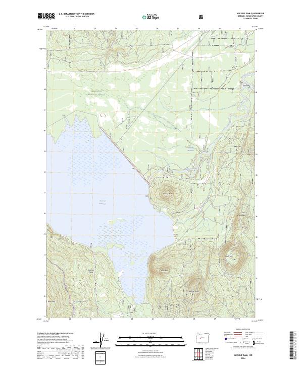
2024 Wickiup Dam
Deschutes County, OR