
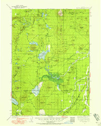
1930 Map of Maiden Peak
USGS Topo · Published 1930About this map
Crane Prairie Reservoir and the nascent Wickiup Reservoir dominate this 1930 study of the high volcanic plateau, capturing the region's hydraulic and forestry infrastructure in the early decades of the twentieth century. The map identifies several specialized administrative outposts of the Deschutes National Forest, including the Deschutes Bridge Guard Sta. and the Fall River Guard Sta., alongside a state Fish Hatchery. Local agricultural history is anchored by the Caldwell Ranch and Graft Ranch, providing a counterpoint to the leisure and conservation landscape emerging around Elk Lake and Cultus Lake. The presence of the Southern Pacific railroad and the The Dalles California Highway through Lapine highlights the transportation corridors that opened this cinder-coned terrain for both industry and early tourism.
Find a feature on this map
144 named features on this map. Tap any name to fly to it.
Don’t see what you’re looking for? This feature index may not catch every label — zoom into the map to look around manually.
Map Details
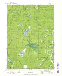
Editions of this 1930 Maiden Peak Map
3 editions found
Other maps of this area

1917 · Diamond Lake
USGS Topo · 1:125,000

1925 · Waldo Lake
USGS Topo · 1:125,000

1926 · Bend
USGS Topo · 1:125,000

1929 · Bend
USGS Topo · 1:125,000

1929 · Three Sisters
USGS Topo · 1:125,000

1931 · Newberry Crater
USGS Topo · 1:125,000

1932 · Three Sisters
USGS Topo · 1:125,000

1934 · Maiden Peak
USGS Topo · 1:125,000

1934 · Mc Kenzie Bridge
USGS Topo · 1:96,000

1935 · Chemult
USGS Topo · 1:96,000