
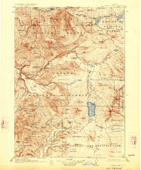
1917 Map of Diamond Lake
USGS Topo · Published 1917About this map
The high Cascade Mountains define this 1917 survey of the High Cascades, where the headwaters of the Middle Fork Willamette River, Umpqua River, and Middle Fork Rogue River diverge. This era of forest management is evidenced by an extensive network of fire and patrol infrastructure, including Hamaker Lookout and various remote outposts like the Higdon Ranger Sta and Big Camas Ranger Sta.
Find a feature on this map
132 named features on this map. Tap any name to fly to it.
Don’t see what you’re looking for? This feature index may not catch every label — zoom into the map to look around manually.
Map Details
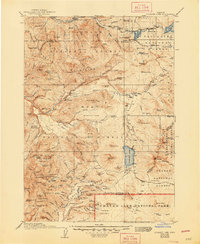
Editions of this 1917 Diamond Lake Map
3 editions found
Other maps of this area

1889 · Klamath
USGS Topo · 1:250,000

1891 · Ashland
USGS Topo · 1:250,000

1893 · Ashland
USGS Topo · 1:250,000

1894 · Klamath
USGS Topo · 1:250,000

1897 · Ashland
USGS Topo · 1:250,000

1925 · Waldo Lake
USGS Topo · 1:125,000

1930 · Maiden Peak
USGS Topo · 1:125,000

1934 · Maiden Peak
USGS Topo · 1:125,000

1935 · Lowell
USGS Topo · 1:96,000

1935 · Chemult
USGS Topo · 1:96,000