
1925 Map of Waldo Lake
USGS Topo · Published 1925About this map
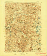
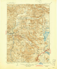
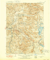
Oakridge and its State Fish Hatchery anchor the western edge of this 1925 study, documenting a landscape at the intersection of early forestry management and recreational wilderness. The map reveals a network of fire lookouts and ranger stations, including Wolf Mtn Lookout Sta and the Middle Fork Ranger Station, which were critical for managing the timberlands of the Cascade Range. High-altitude life is evidenced by the High Prairie School and remote homesteads like Hills Ranch and Beamer Ranch.
Find a feature on this map
175 named features on this map. Tap any name to fly to it.
Don’t see what you’re looking for? This feature index may not catch every label — zoom into the map to look around manually.
Map Details
Editions of this 1925 Waldo Lake Map
4 editions found
Other maps of this area

1917 · Diamond Lake
USGS Topo · 1:125,000

1929 · Three Sisters
USGS Topo · 1:125,000

1930 · Maiden Peak
USGS Topo · 1:125,000

1932 · Three Sisters
USGS Topo · 1:125,000

1934 · Maiden Peak
USGS Topo · 1:125,000

1934 · Mc Kenzie Bridge
USGS Topo · 1:96,000

1935 · Lowell
USGS Topo · 1:96,000

1935 · Chemult
USGS Topo · 1:96,000

1940 · Mc Kenzie Bridge
USGS Topo · 1:125,000

1941 · Chemult
USGS Topo · 1:125,000