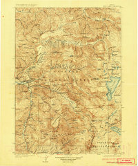
1925 Map of Waldo Lake
USGS Topo · Published 1925About this map
Waldo Lake and the high peaks of the Cascade Range dominate this mid-1920s survey, revealing a landscape defined by early forest management and scattered mountain industry. In the valley of the Middle Fork Willamette River, the town of Oakridge serves as a vital hub, located near the State Fish Hatchery and several isolated outposts like the Middle Fork Ranger Station. The map captures the region's early recreational and commercial appeal, from the Christy Mine to the therapeutic waters of Kitson Hot Springs and Winino Hot Springs.
Find a feature on this map
127 named features on this map. Tap any name to fly to it.
Don’t see what you’re looking for? This feature index may not catch every label — zoom into the map to look around manually.
Map Details
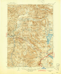
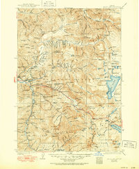
Editions of this 1925 Waldo Lake Map
4 editions found
Other maps of this area

1917 · Diamond Lake
USGS Topo · 1:125,000

1925 · Waldo Lake
USGS Topo · 1:125,000

1929 · Three Sisters
USGS Topo · 1:125,000

1930 · Maiden Peak
USGS Topo · 1:125,000

1932 · Three Sisters
USGS Topo · 1:125,000

1934 · Maiden Peak
USGS Topo · 1:125,000

1934 · Mc Kenzie Bridge
USGS Topo · 1:96,000

1935 · Lowell
USGS Topo · 1:96,000

1935 · Chemult
USGS Topo · 1:96,000

1940 · Mc Kenzie Bridge
USGS Topo · 1:125,000