
1929 Map of Bend
USGS Topo · Published 1929About this map
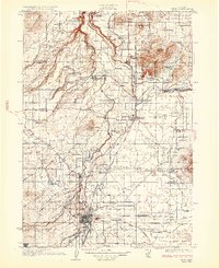
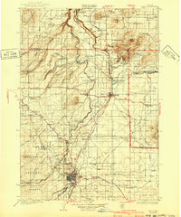
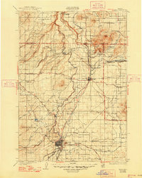
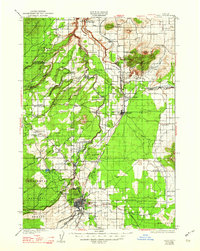
The Deschutes River and its dramatic canyon system dominate this late 1920s survey, illustrating the hydraulic and agricultural development of Central Oregon. The landscape is dotted with early 20th-century irrigation efforts, including the Tumalo Reservoir and various ditches supporting settlements like Tumalo and Plainview. The expansion of regional infrastructure is evident through the convergence of the Oregon Trunk Railway and the Great Northern Railway near the growing hub of Bend. Educational and community life is anchored by numerous rural schoolhouses, such as Lava Rock Sch and Pine Ridge Sch, while the presence of Peter Skene Ogden Park reflects early state-level conservation. The map also records several family-named ranches and smaller locales such as Gates Ranch and Opal City, which served the local timber and ranching economies before many of these smaller junctions were superseded by modern highway realignments.
Find a feature on this map
75 named features on this map. Tap any name to fly to it.
Don’t see what you’re looking for? This feature index may not catch every label — zoom into the map to look around manually.
Map Details
Editions of this 1929 Bend Map
5 editions found
Other maps of this area

1926 · Bend
USGS Topo · 1:125,000

1927 · Mt. Jefferson
USGS Topo · 1:125,000

1928 · Madras
USGS Topo · 1:125,000

1929 · Three Sisters
USGS Topo · 1:125,000

1930 · Maiden Peak
USGS Topo · 1:125,000

1930 · Mt. Jefferson
USGS Topo · 1:125,000

1931 · Madras
USGS Topo · 1:125,000

1931 · Newberry Crater
USGS Topo · 1:125,000

1932 · Three Sisters
USGS Topo · 1:125,000

1934 · Maiden Peak
USGS Topo · 1:125,000