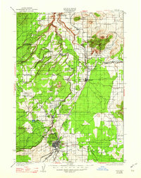
1929 Map of Bend
USGS Topo · Published 1948About this map
The city of Bend serves as the focal point of this late-1920s landscape, where the Deschutes River and various irrigation canals dictate the pattern of settlement. To the north, the winding course of the Crooked River flows through a landscape defined by volcanic landforms like Smith Rock and Gray Butte. This survey, conducted shortly after the expansion of irrigation in the High Desert, reveals a network of rural schoolhouses and family holdings, including the Gist Ranch and Ten Bar Ranch, that supported a growing agricultural community.
Find a feature on this map
64 named features on this map. Tap any name to fly to it.
Don’t see what you’re looking for? This feature index may not catch every label — zoom into the map to look around manually.
Map Details
Editions of this 1929 Bend Map
5 editions found
Other maps of this area

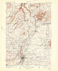
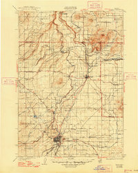
1926 · Bend
USGS Topo · 1:125,000

1927 · Mt. Jefferson
USGS Topo · 1:125,000

1928 · Madras
USGS Topo · 1:125,000

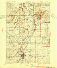
1929 · Bend
USGS Topo · 1:125,000

1929 · Three Sisters
USGS Topo · 1:125,000

1930 · Maiden Peak
USGS Topo · 1:125,000

1930 · Mt. Jefferson
USGS Topo · 1:125,000

1931 · Madras
USGS Topo · 1:125,000

1931 · Newberry Crater
USGS Topo · 1:125,000

1932 · Three Sisters
USGS Topo · 1:125,000