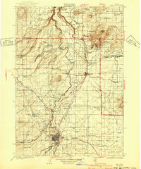
1929 Map of Bend
USGS Topo · Published 1940About this map
The Deschutes River and its rugged canyon system define the geography of Central Oregon during the mid-1920s. Centered on the growing hub of Bend, the landscape is a network of volcanic peaks and irrigation efforts. This era captures the transition of the high desert, where established ranches like Gates Ranch and Holmes Ranch coexist with early industrial logging and the expansion of the Oregon Trunk Railway. The Tumalo Reservoir and various canals suggest the critical role of water management in the development of settlements like Redmond and Terrebonne.
Find a feature on this map
64 named features on this map. Tap any name to fly to it.
Don’t see what you’re looking for? This feature index may not catch every label — zoom into the map to look around manually.
Map Details
Editions of this 1929 Bend Map
5 editions found
Other maps of this area

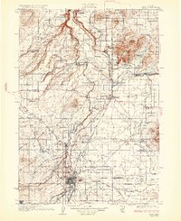
1926 · Bend
USGS Topo · 1:125,000

1927 · Mt. Jefferson
USGS Topo · 1:125,000

1928 · Madras
USGS Topo · 1:125,000

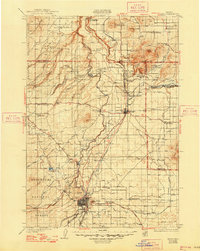
1929 · Bend
USGS Topo · 1:125,000

1929 · Three Sisters
USGS Topo · 1:125,000

1930 · Maiden Peak
USGS Topo · 1:125,000

1930 · Mt. Jefferson
USGS Topo · 1:125,000

1931 · Madras
USGS Topo · 1:125,000

1931 · Newberry Crater
USGS Topo · 1:125,000

1932 · Three Sisters
USGS Topo · 1:125,000