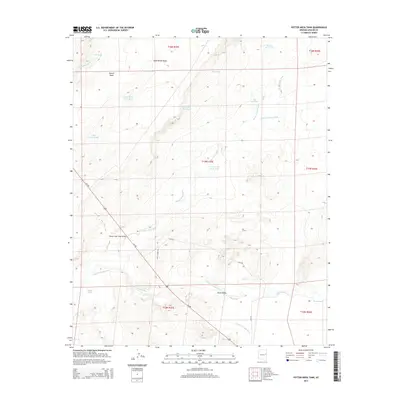
2014 Map of Potter Mesa Tank
USGS Topo · Published 2014About this map
The Little Colorado River and Zuñi River converge in this high-desert region of Apache County, shaping the surrounding Hunt Valley. The landscape is dominated by a complex network of water management features essential for ranching and survival in this arid environment, including the Potter Mesa Tank, Metiás Tank, and several specialized wells like the Corner Salt Well Tank. Transportation through the area centers on Us-180, which crosses the seasonal drainage at the Beaver Dam Wash Bridge. Higher elevations are marked by Potter Mesa and the drainage of Goat Ranch Draw. The survey illustrates a terrain defined by intermittent washes such as Little Milky Wash and Seven Springs Wash, reflecting the precarious balance of water resources in the Arizona backcountry. Local access is facilitated by primitive routes like Lazy S Ranch Rd and CR-5392.
Find a feature on this map
29 named features on this map. Tap any name to fly to it.
Don’t see what you’re looking for? This feature index may not catch every label — zoom into the map to look around manually.
Map Details
Editions of this 2014 Potter Mesa Tank Map
This is the sole edition of this map. No revisions or reprints were ever made.
Other maps of this area

1886 · St Johns
USGS Topo · 1:250,000

1892 · St Johns
USGS Topo · 1:250,000

1912 · Petrified Forest
USGS Topo · 1:62,500

1954 · Saint Johns
USGS Topo · 1:250,000

1955 · Petrified Forest
USGS Topo · 1:62,500

1955 · Adamana 1 SW
USGS Topo · 1:24,000

1955 · Adamana 3 NE
USGS Topo · 1:24,000

1955 · Adamana 4 SW
USGS Topo · 1:24,000

1955 · Adamana 4 NE
USGS Topo · 1:24,000

1955 · Adamana 4 NW
USGS Topo · 1:24,000