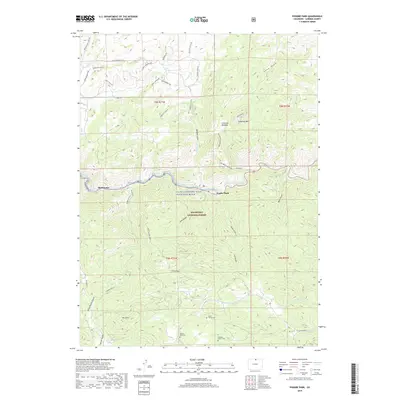
2019 Map of Poudre Park
USGS Topo · Published 2019About this map
The Cache la Poudre River flows through the heart of the Roosevelt National Forest, carving a deep corridor through the Front Range. Along its banks, small communities like Mishawaka and Poudre Park represent the modern footprint of human settlement in this canyon environment. The map details a landscape defined by significant elevation changes, from the heights of Greyrock Mtn and Mount Mahogany down to the valley floor. To the south, several private burial grounds, including the Bania Family Cem, Williams Family Cem, and Stoney Park Cem, offer localized genealogical data points amidst the vast federal lands. The network of canyons and gulches, such as Rist Canyon and Young Gulch, illustrates the complex drainage patterns that shape the terrain and dictate the paths of local roads like Co Road 27.
Find a feature on this map
46 named features on this map. Tap any name to fly to it.
Don’t see what you’re looking for? This feature index may not catch every label — zoom into the map to look around manually.
Map Details
Editions of this 2019 Poudre Park Map
This is the sole edition of this map. No revisions or reprints were ever made.
Other maps of this area

1906 · Fort Collins
USGS Topo · 1:62,500

1907 · Livermore
USGS Topo · 1:125,000

1908 · Fort Collins
USGS Topo · 1:62,500

1909 · Livermore
USGS Topo · 1:125,000

1954 · Greeley
USGS Topo · 1:250,000

1957 · Greeley
USGS Topo · 1:250,000

1958 · Greeley
USGS Topo · 1:250,000

1960 · Livermore
USGS Topo · 1:24,000

1960 · Haystack Gulch
USGS Topo · 1:24,000

1960 · Livermore Mountain
USGS Topo · 1:24,000