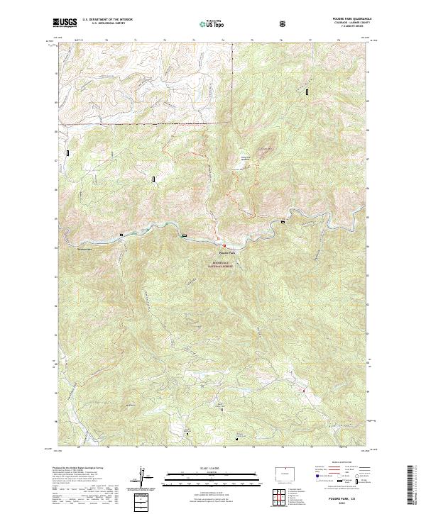
2022 Map of Poudre Park
USGS Topo · Published 2022About this map
Mishawaka and the small settlement of Poudre Park anchor this canyon landscape where the Cache la Poudre River cuts through the Roosevelt National Forest. The map details a rugged topography defined by steep gulches and high peaks like Greyrock Mtn and Mt Ethel. A network of trails, including the Greyrock Trl and Hewlett Gulch Trl, suggests a region heavily utilized for backcountry recreation and forestry. For those looking for family history, the map preserves the locations of several small private burial grounds, including the Bania Family Cem, Stoney Park Cem, and Williams Family Cem. These sites, tucked away near drainage points like Lewstone Cr and Stove Prairie Gulch, indicate a legacy of early mountain homesteading and family landholdings within the canyon's protected boundaries.
Find a feature on this map
45 named features on this map. Tap any name to fly to it.
Don’t see what you’re looking for? This feature index may not catch every label — zoom into the map to look around manually.
Map Details
Editions of this 2022 Poudre Park Map
This is the sole edition of this map. No revisions or reprints were ever made.
Other maps of this area

1906 · Fort Collins
USGS Topo · 1:62,500

1907 · Livermore
USGS Topo · 1:125,000

1908 · Fort Collins
USGS Topo · 1:62,500

1909 · Livermore
USGS Topo · 1:125,000

1954 · Greeley
USGS Topo · 1:250,000

1957 · Greeley
USGS Topo · 1:250,000

1958 · Greeley
USGS Topo · 1:250,000

1960 · Livermore
USGS Topo · 1:24,000

1960 · Haystack Gulch
USGS Topo · 1:24,000

1960 · Livermore Mountain
USGS Topo · 1:24,000