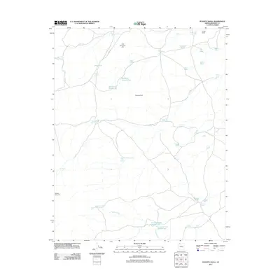
2011 Map of Poverty Knoll
USGS Topo · Published 2011About this map
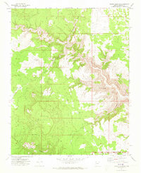
Poverty Knoll and the surrounding high desert of Mohave County are defined by a critical network of water management features in an otherwise arid landscape. This 2011 survey reveals an intricate system of tanks, ponds, and reservoirs essential for ranching and survival on the Arizona Strip. Named features like Lamar Reservoir, Nutter Reservoir, and the Atkin-Larson Tank highlight the human effort to capture runoff across the terrain.
Find a feature on this map
45 named features on this map. Tap any name to fly to it.
Don’t see what you’re looking for? This feature index may not catch every label — zoom into the map to look around manually.
Map Details
Editions of this 2011 Poverty Knoll Map
This is the sole edition of this map. No revisions or reprints were ever made.
Other maps of this area

1886 · Mt. Trumbull
USGS Topo · 1:250,000

1892 · Mt. Trumbull
USGS Topo · 1:250,000

1953 · Grand Canyon
USGS Topo · 1:250,000

1957 · Grand Canyon
USGS Topo · 1:250,000

1958 · Grand Canyon
USGS Topo · 1:250,000

1960 · Grand Canyon
USGS Topo · 1:250,000
1971 · Poverty Spring
USGS Topo · 1:24,000
1971 · Wildcat Ranch
USGS Topo · 1:24,000
1971 · Poverty Knoll
USGS Topo · 1:24,000
1971 · Grassy Mountain
USGS Topo · 1:24,000