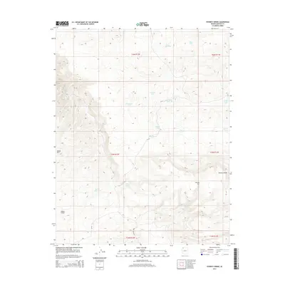
2014 Map of Poverty Spring
USGS Topo · Published 2014About this map
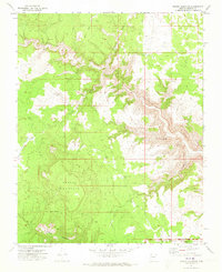
Poverty Mtn dominates the eastern reach of this high-plateau landscape, where water security dictated the survival of early ranching and travel. The map documents a critical network of livestock tanks and remote water sources including Bliss Pond, Four Bits Pond, and Sabotage Pond, many of which appear to follow the path of Parashant Wash. Along the edge of the Shivwits Plateau, the topographic detail reveals the descent into Hidden Canyon and the isolation of the Hidden Hills. For local historians, the placement of Poverty Spring and the aptly named Dewdrop Spring provides insight into how the environment was utilized before modern infrastructure reached this corner of Mohave County. Only a single primitive route, CR-103, traverses the central area, emphasizing the distance and difficulty of the terrain.
Find a feature on this map
27 named features on this map. Tap any name to fly to it.
Don’t see what you’re looking for? This feature index may not catch every label — zoom into the map to look around manually.
Map Details
Editions of this 2014 Poverty Spring Map
This is the sole edition of this map. No revisions or reprints were ever made.
Other maps of this area

1886 · Mt. Trumbull
USGS Topo · 1:250,000

1892 · Mt. Trumbull
USGS Topo · 1:250,000

1953 · Grand Canyon
USGS Topo · 1:250,000

1957 · Grand Canyon
USGS Topo · 1:250,000

1958 · Grand Canyon
USGS Topo · 1:250,000

1960 · Grand Canyon
USGS Topo · 1:250,000
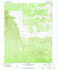
1971 · Poverty Spring
USGS Topo · 1:24,000
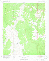
1971 · Wildcat Ranch
USGS Topo · 1:24,000
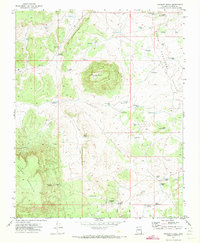
1971 · Poverty Knoll
USGS Topo · 1:24,000
1971 · Grassy Mountain
USGS Topo · 1:24,000