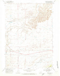
1968 Map of Powder River
USGS Topo · Published 1973About this map
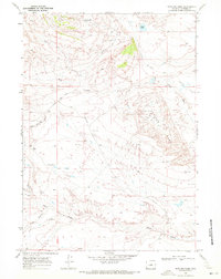
Powder River serves as the central hub of this Wyoming landscape, where the Burlington Northern line and an Old Railroad Grade converge. The terrain is defined by its industrial and ranching utility, marked by extensive Pipeline networks and numerous resource markers like Clark Place Well and various flowing wells. The drainage patterns of the South Fork Powder River and Middle Fork Casper Creek carve through the high plains toward landmarks such as Brewer Flat and the rising slopes of Pine Mountain in the southeast. Named features like Stronecker Road and Wyatt Road provide essential context for local history and genealogy, tracing the movement of people across the draws and flats of Natrona County during the late 1960s.
Find a feature on this map
26 named features on this map. Tap any name to fly to it.
Don’t see what you’re looking for? This feature index may not catch every label — zoom into the map to look around manually.
Map Details
Editions of this 1968 Powder River Map
This is the sole edition of this map. No revisions or reprints were ever made.
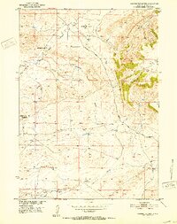
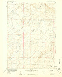
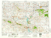
Other maps of this area
1951 · Square Top Butte
USGS Topo · 1:24,000

1951 · Reid Canyon
USGS Topo · 1:24,000

1955 · Arminto
USGS Topo · 1:250,000

1955 · Casper
USGS Topo · 1:250,000

1958 · Casper
USGS Topo · 1:250,000

1958 · Arminto
USGS Topo · 1:250,000
1959 · Gaylord Reservoir
USGS Topo · 1:24,000

1962 · Arminto
USGS Topo · 1:250,000
1962 · Casper
USGS Topo · 1:250,000
1968 · Notches Dome
USGS Topo · 1:24,000