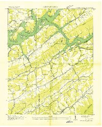
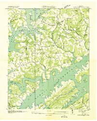
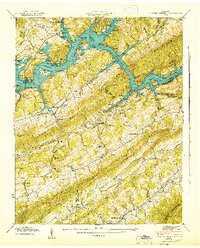
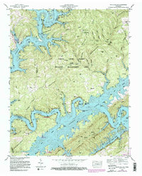
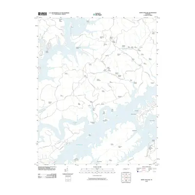
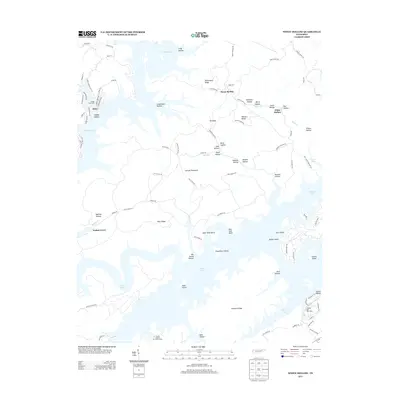
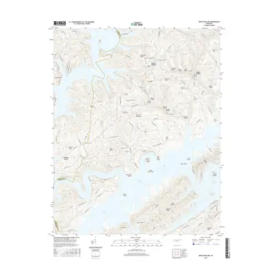
1936 Map of Powder Springs
USGS Topo · Published 1936About this map
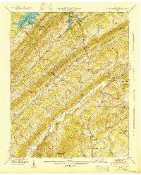
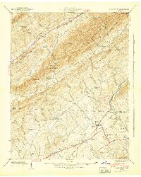
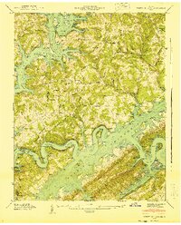
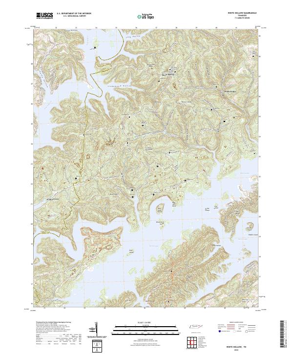
Clinch Mountain and the surrounding ridgelines anchor this 1936 survey, which documents the transformation of East Tennessee as the Tennessee Valley Authority established the Norris Reservation. The landscape is a complex system of parallel valleys, including Hogskin Valley, Little Valley, and Potato Valley, each supporting tight-knit rural communities. These settlements are often centered around local institutions such as Dodson Creek Ch, Nave Hill Ch, and the Wood Dale Sch.
Find a feature on this map
53 named features on this map. Tap any name to fly to it.
Don’t see what you’re looking for? This feature index may not catch every label — zoom into the map to look around manually.
Map Details
Editions of this 1936 Powder Springs Map
This is the sole edition of this map. No revisions or reprints were ever made.
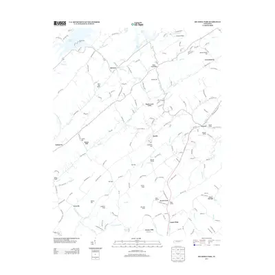
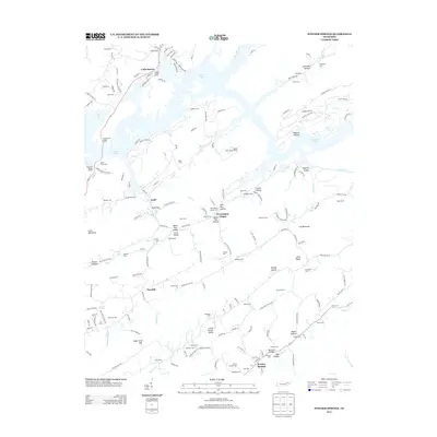
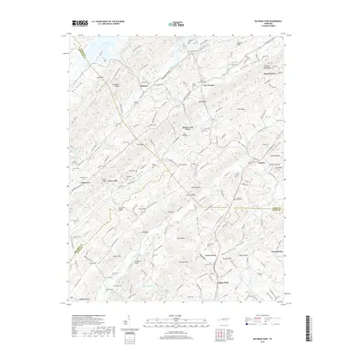
Historical Maps of Navehill Through Time
33 maps found
1935 Graveston
Union County, TN
1936 Big Ridge Park
Union County, TN
1936 Mc Lean Rock
Union County, TN
1936 Powder Springs
Union County, TN
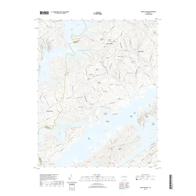
1936 White Hollow
Union County, TN
1941 Big Ridge Park
Union County, TN
1941 Graveston
Union County, TN
1941 White Hollow
Union County, TN
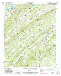
1942 Powder Springs
Union County, TN
1952 Big Ridge Park
Union County, TN
1952 Graveston
Union County, TN
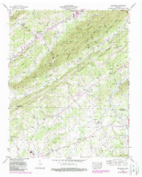
1952 Powder Springs
Union County, TN
1952 White Hollow
Union County, TN
2010 Big Ridge Park
Union County, TN
2010 Graveston
Union County, TN
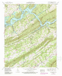
2010 Powder Springs
Union County, TN
2010 White Hollow
Union County, TN
2013 Big Ridge Park
Union County, TN
2013 Graveston
Union County, TN
2013 Powder Springs
Union County, TN
2013 White Hollow
Union County, TN
2016 Big Ridge Park
Union County, TN
2016 Graveston
Union County, TN
2016 Powder Springs
Union County, TN
2016 White Hollow
Union County, TN
2019 Big Ridge Park
Union County, TN
2019 Graveston
Union County, TN
2019 Powder Springs
Union County, TN
2019 White Hollow
Union County, TN
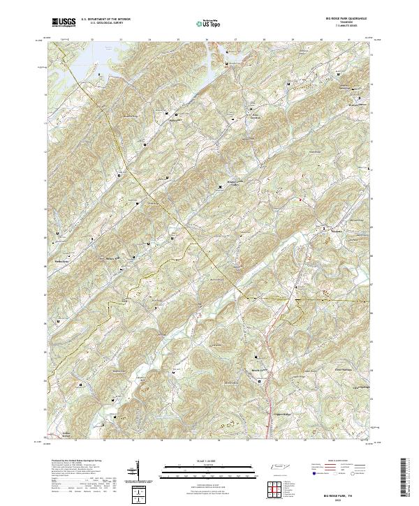
2022 Big Ridge Park
Union County, TN
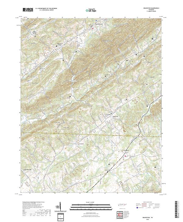
2022 Graveston
Union County, TN
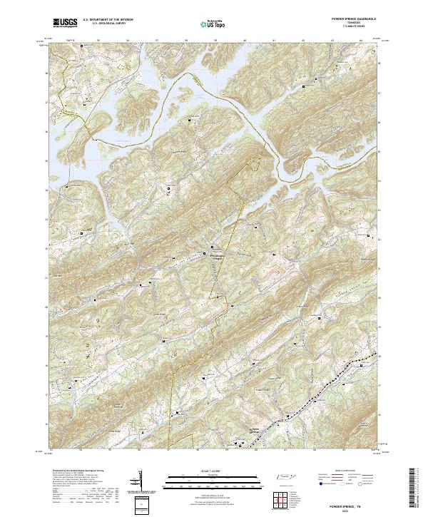
2022 Powder Springs
Union County, TN
2022 White Hollow
Union County, TN