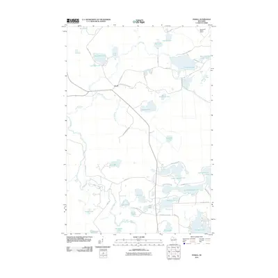
2010 Map of Powell
USGS Topo · Published 2010About this map
The settlement of Powell serves as a central point in this northern Wisconsin landscape, where the Lac Du Flambeau Indian Res and the Nth Highland Am Legion St Fr meet. The geography is defined by an intricate network of glacial lakes and waterways, including the Bear River and Sugarbush Creek. Water bodies of various sizes, such as the large Dead Pike Lake and the smaller Three Stepping Stones Lakes, dominate the northern and eastern portions of the quadrangle. Transportation is facilitated by a grid of local roads like Powell Rd and River Rd, while the Manitowish Waters Airport in the northeast corner provides regional air access. This 2010 survey illustrates the balance between managed forest lands, tribal reservation territory, and the water-dependent infrastructure of Vilas County.
Find a feature on this map
51 named features on this map. Tap any name to fly to it.
Don’t see what you’re looking for? This feature index may not catch every label — zoom into the map to look around manually.
Map Details
Editions of this 2010 Powell Map
This is the sole edition of this map. No revisions or reprints were ever made.
Other maps of this area

1938 · Lac Du Flambeau
USGS Topo · 1:48,000

1939 · Lac Du Flambeau
USGS Topo · 1:48,000

1939 · Winchester
USGS Topo · 1:48,000

1940 · Mercer
USGS Topo · 1:48,000

1941 · Pike Lake
USGS Topo · 1:48,000

1942 · Pike Lake
USGS Topo · 1:48,000

1945 · Mercer
USGS Topo · 1:48,000

1946 · Winchester
USGS Topo · 1:48,000

1946 · Lac Du Flambeau
USGS Topo · 1:48,000

1947 · Mercer
USGS Topo · 1:48,000