Loading...
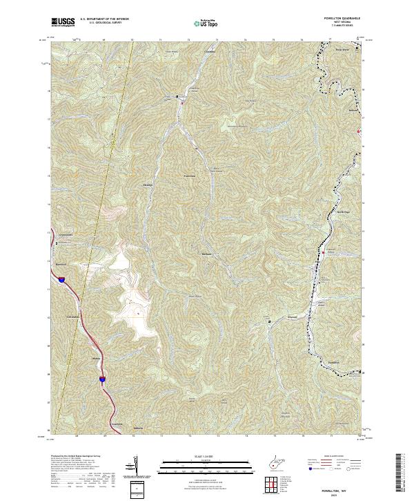
Loading map...2023 Map of Powellton
USGS Topo · Published 2023About this map
Armstrong Creek and Loop Creek carve deep valleys through the high plateaus of Fayette Co and Kanawha Co, defining a landscape centered on West Virginia's coal heritage. The map documents numerous creek-side communities such as Powellton, Elkridge, and McDunn, which are connected by winding mountain roads like Co Rte 6/1 and Deepwater Mountain RD. These settlements often follow the narrow bottoms below heights like Armstrong Mountain and Payne Knob.
Find a feature on this map
73 named features on this map. Tap any name to fly to it.
Don’t see what you’re looking for? This feature index may not catch every label — zoom into the map to look around manually.
Map Details
Date Portrayed2023
Date Published2023
PublisherU.S. Geological Survey
Map TypeTopographic
Scale1:24000
Physical Dimensions24 x 29 inches
Editions of this 2023 Powellton Map
This is the sole edition of this map. No revisions or reprints were ever made.
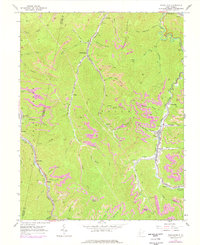
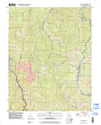
Historical Maps of Mahan Through Time
3 maps found
Featured Locations
Source Details
SourceU.S. Geological Survey
CopyrightPublic Domain