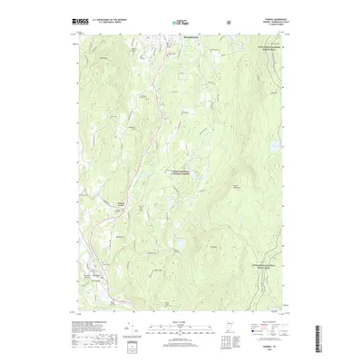
2018 Map of Pownal
USGS Topo · Published 2018About this map
The Hoosic River valley shapes the southwestern corner of Vermont, where the settlements of Pownal and Pownal Center anchor a landscape defined by significant topographic relief. To the east, the massive rise of The Dome and Harmon Hill marks the entrance to the Green Mountain National Forest, while Mt Anthony dominates the northwestern terrain near Bennington. The area is characterized by a high density of small, family-named burial grounds and historical farm plots, suggesting a deeply rooted agricultural heritage and settled family lineages across the hillsides.
Find a feature on this map
78 named features on this map. Tap any name to fly to it.
Don’t see what you’re looking for? This feature index may not catch every label — zoom into the map to look around manually.
Map Details
Editions of this 2018 Pownal Map
This is the sole edition of this map. No revisions or reprints were ever made.
Other maps of this area

1886 · Greylock
USGS Topo · 1:62,500
1888 · Berlin
USGS Topo · 1:62,500
1890 · Berlin
USGS Topo · 1:62,500
1891 · Greylock
USGS Topo · 1:62,500
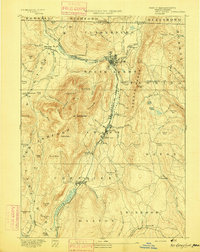
1893 · Greylock
USGS Topo · 1:62,500
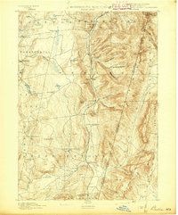
1894 · Berlin
USGS Topo · 1:62,500
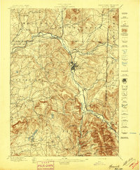
1897 · Hoosick
USGS Topo · 1:62,500
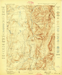
1898 · Berlin
USGS Topo · 1:62,500
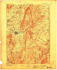
1898 · Bennington
USGS Topo · 1:62,500
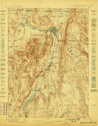
1898 · Greylock
USGS Topo · 1:62,500