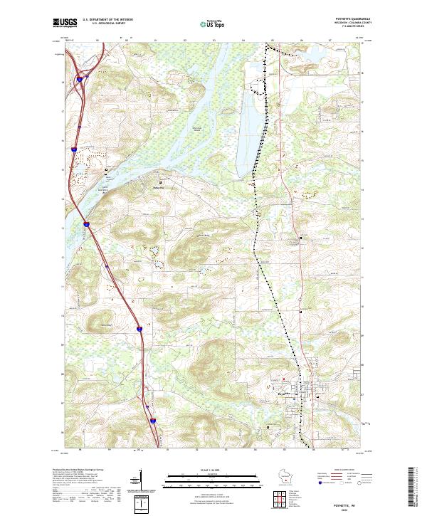
2022 Map of Poynette
USGS Topo · Published 2022About this map
Poynette serves as the primary hub in this portion of Columbia County, where the convergence of rail and road infrastructure meets the intricate wetlands of the Wisconsin River valley. The landscape is defined by the broad, braided channels of the river and its many tributaries, including Duck Creek, Rowan Cr, and Hinkson Cr. Further north, the confluence with the Baraboo River creates a complex system of islands and backwaters, notably Lib Gross Island. For genealogists and local historians, the area is meticulously documented through its numerous rural burial grounds, such as Hillside Cem, Schofield Cem, and the small Rubin Guenther Cem located near the river bluffs. These sites, along with landmarks like Whites Bluff and Saint Lawrence Bluff, reflect a long history of settlement tied to the productive soils and strategic river crossings of southern Wisconsin.
Find a feature on this map
92 named features on this map. Tap any name to fly to it.
Don’t see what you’re looking for? This feature index may not catch every label — zoom into the map to look around manually.
Map Details
Editions of this 2022 Poynette Map
This is the sole edition of this map. No revisions or reprints were ever made.
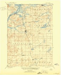
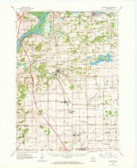
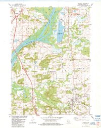
Historical Maps of Arlington Through Time
4 maps found