2021 Map of Prairie Home
USGS Topo · Published 2021About this map
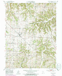
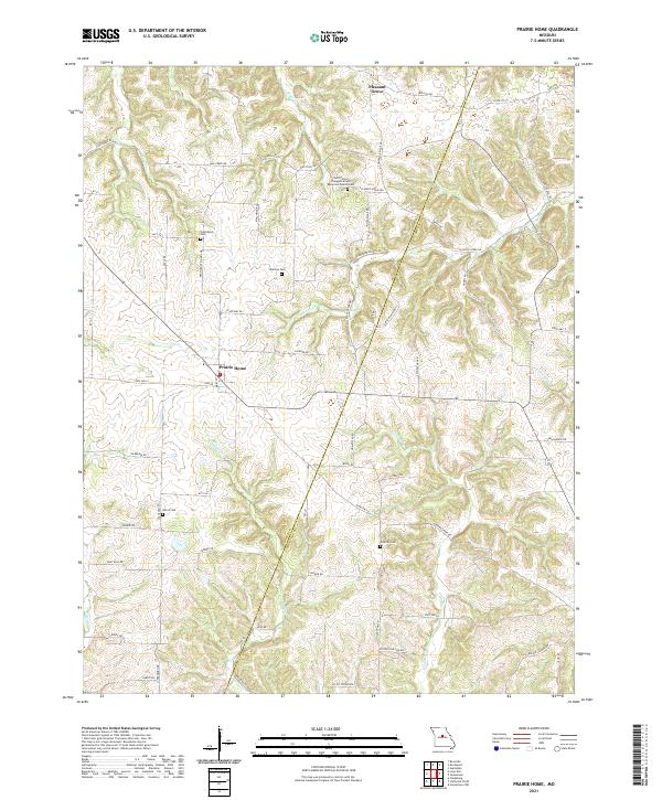
The community of Prairie Home serves as the focal point of this Central Missouri landscape, where the boundary between Cooper Co and Moniteau Co follows the natural drainage of the land. The area is characterized by a dense network of country roads like State Hwy EE and Byler Rd that connect family settlements and agricultural tracts. Local history is deeply rooted in its religious and community sites, including the Saint Peters Evangelical and Reformed Church Cem near Pleasant Grove and several other burial grounds such as Providence Cem and Harris Cem. The terrain is defined by the winding paths of Splice Cr, Pisgah Cr, and Schaaf Cr, which carve through the plains to create a complex topography of ridges and creek bottoms, reflecting the rural character of this region in the early twenty-first century.
Find a feature on this map
69 named features on this map. Tap any name to fly to it.
Don’t see what you’re looking for? This feature index may not catch every label — zoom into the map to look around manually.
Map Details
Editions of this 2021 Prairie Home Map
This is the sole edition of this map. No revisions or reprints were ever made.