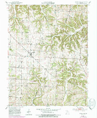
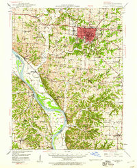
1952 Map of Prairie Home
USGS Topo · Published 1986About this map
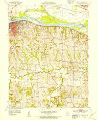
Prairie Home stands at the center of this mid-century Missouri landscape, situated where the northern prairies meet the dissected drainage basins of the Missouri River tributaries. The settlement pattern reflects a stable agricultural community defined by its crossroads and rural institutions. Significant local history is preserved in the locations of St Peters Ch and Union Ch, alongside three distinct burial grounds: Providence Cem, Harris Cem, and German Cem.
Find a feature on this map
20 named features on this map. Tap any name to fly to it.
Don’t see what you’re looking for? This feature index may not catch every label — zoom into the map to look around manually.
Map Details
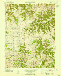
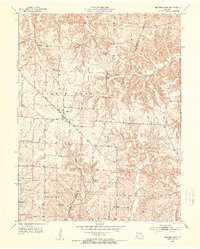
Editions of this 1952 Prairie Home Map
3 editions found
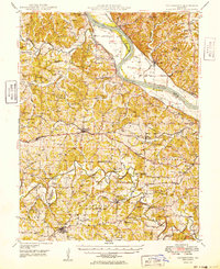
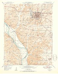
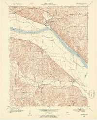
Other maps of this area

1886 · Jefferson City
USGS Topo · 1:125,000

1888 · Boonville
USGS Topo · 1:125,000

1894 · Jefferson City
USGS Topo · 1:125,000

1947 · Jefferson City
USGS Topo · 1:250,000
1948 · Centertown
USGS Topo · 1:62,500
1948 · Columbia
USGS Topo · 1:62,500
1949 · Centertown
USGS Topo · 1:62,500
1950 · Columbia
USGS Topo · 1:62,500
1952 · Rocheport
USGS Topo · 1:24,000
1952 · Boonville
USGS Topo · 1:24,000