
1952 Map of Boonville
USGS Topo · Published 1953About this map
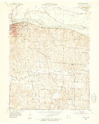
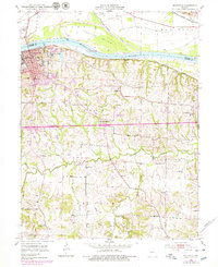
Boonville sits as a prominent river town along the south bank of the Missouri River, where the Missouri Pacific railroad follows the shoreline eastward toward Merna. The 1950s landscape reveals a concentration of civic and educational institutions, including the Kemper Military Sch, the State Boys School, and St Joseph Convent. Beyond the urban core, the terrain is defined by the winding paths of Petite Saline Creek and Clark Fork, with the broad Franklin Island situated in the river channel to the north. Local history is deeply etched into the rural sections of the quadrangle, evidenced by a dense network of country schools such as Bluffton Sch and Hail Ridge Sch. The presence of several sites marked as abandoned, such as Pleasant Valley Sch (Abandoned), provides a clear indication of shifting population centers and the consolidation of rural school districts during the mid-20th century.
Find a feature on this map
36 named features on this map. Tap any name to fly to it.
Don’t see what you’re looking for? This feature index may not catch every label — zoom into the map to look around manually.
Map Details
Editions of this 1952 Boonville Map
3 editions found
Other maps of this area

1888 · Boonville
USGS Topo · 1:125,000

1890 · Glasgow
USGS Topo · 1:125,000

1947 · Glasgow
USGS Topo · 1:62,500

1947 · Jefferson City
USGS Topo · 1:250,000

1952 · Rocheport
USGS Topo · 1:24,000

1952 · New Franklin
USGS Topo · 1:24,000
1952 · Prairie Home
USGS Topo · 1:24,000

1952 · Hilldale
USGS Topo · 1:24,000

1952 · Lone Elm
USGS Topo · 1:24,000

1953 · Moberly
USGS Topo · 1:250,000