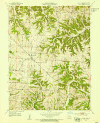
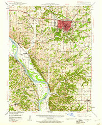
1952 Map of Prairie Home
USGS Topo · Published 1953About this map
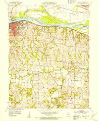
Prairie Home stands as the central hub of this agricultural landscape in mid-century Cooper County, where a network of section lines and dirt roads connects small communities and rural institutions. The 1952 field survey highlights a transition in rural education, specifically labeling the Cedron Sch and Feider Sch as abandoned, reflecting the post-war consolidation of Missouri's country school districts.
Find a feature on this map
20 named features on this map. Tap any name to fly to it.
Don’t see what you’re looking for? This feature index may not catch every label — zoom into the map to look around manually.
Map Details
Editions of this 1952 Prairie Home Map
3 editions found
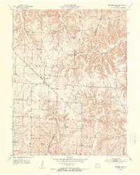
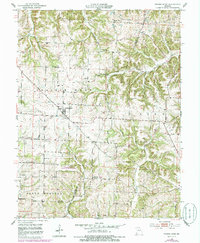
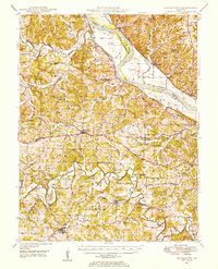
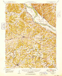
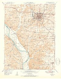
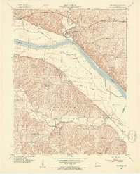
Other maps of this area

1886 · Jefferson City
USGS Topo · 1:125,000

1888 · Boonville
USGS Topo · 1:125,000

1894 · Jefferson City
USGS Topo · 1:125,000

1947 · Jefferson City
USGS Topo · 1:250,000
1948 · Centertown
USGS Topo · 1:62,500
1948 · Columbia
USGS Topo · 1:62,500
1949 · Centertown
USGS Topo · 1:62,500
1950 · Columbia
USGS Topo · 1:62,500
1952 · Rocheport
USGS Topo · 1:24,000
1952 · Boonville
USGS Topo · 1:24,000